MarSP
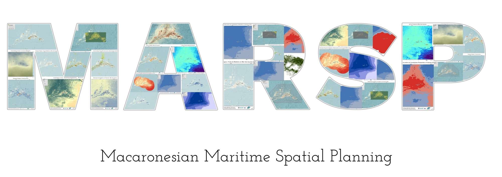
Macaronesian Maritime Spatial Planning

5956275 (DRAM Azores Gov.)
18/10/2019 to 22/11/2019
European Maritime and Fisheries Fund (EMFF) via a subcontract with the DRAM Azores Government
Summary
Macaronesian Maritime Spatial Planning
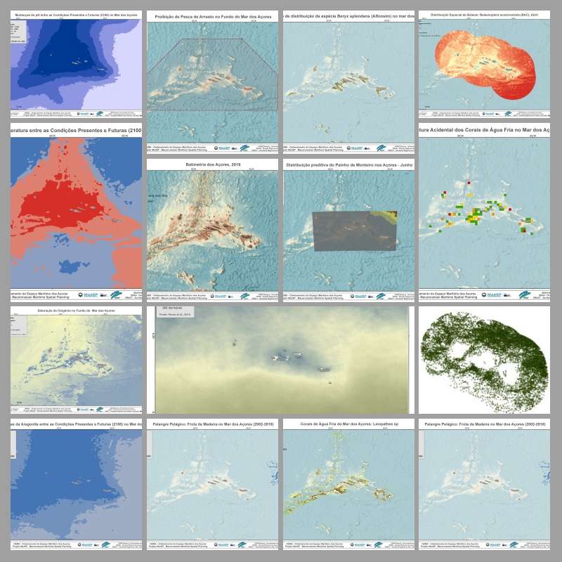
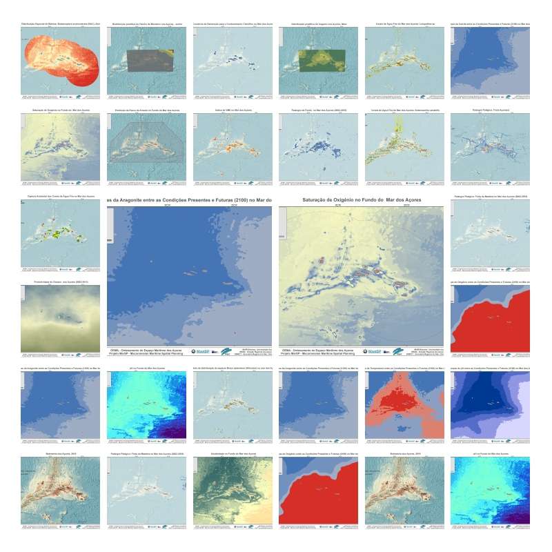
In the MarSP project, the ADSR group aimed to structure, compile, organize and update georeferenced datasets of the marine ecosystem of the Azores including information on the main human activities. This activities aimed to characterize the area covered by the Maritime Space Planning process in the Azores, with a focus on maritime zones adjacent to the archipelago, namely maritime inland waters, territorial sea and sub-area of the Azores of the Portuguese exclusive economic zone. It also aimed to prepare the datasets for integration in the Geographic Information System (GIS) in use by the public contractor (SIGMAR-Azores), within the scope of the MarSP Project - Macaronesian Maritime Spatial Planning (EASME/EMFF/2016/1.2.1.6/03/SI2.763106). This acquisition of services intends to respond to specific actions of the MarSP Project within the scope of Work Package 3, which involves the development of Deliverable D.3.5. “Spatial distribution maps of species, habitats and impacts.
MarSP project intends to reinforce the Maritime Spatial Planning (MSP) processes in the three EU Macaronesian Archipelagos - Azores, Madeira and Canary Islands. MarSP aims to assists the competent authorities of Portugal (Azores and Madeira) and Spain (Canary Islands) on promoting the development of operative mechanisms of MSP until 2021. Aligned with the European MSP Directive 2014/89/EU and EASME call for MSP Cross-Border cooperation for outermost regions, MarSP will focus in the cooperation of the three regions of Macaronesia to ensure a coherent and coordinated MSP process, taking into account the transnational issues. MarSP aimed to (1) develop concrete actions for the Member States, to build the necessary capacities and tools to apply the MSP Directive in the Macaronesian region, including mechanisms for cross-border cooperation and (2) to strengthen the Macaronesia position in the international governance context, since the maritime areas present a high demand from several Blue Growth sectors.
Our Team's role
We lead the compilation and organization of the existing georeferenced datasets of the marine ecosystem of the Azores including information on the main human activities. These datasets contributed to the MarSP Deliverable D.3.5 Spatial distribution maps of species, habitats and impacts.
Collaborators
Main results
During the MarSP services we compiled 227 georeferenced datasets of the marine ecosystem of the Azores including information on the main human activities. The datasets were organized in 6 main categories: geomorphology, marine environment, marine biodiversity, pressures and impacts, human uses, and legal issues. Most of these datasets were produced by the ADSR group while other were obtained from published sources or online repositories. The georeferenced data was successfully transferred to the Marine Geographic Information System of the Government of the Azores (SIGMAR-Azores). These datasets will serve as the basis to inform marine spatial planning in the Azores and the development of Systematic Conservation planning scenarios.
MarSP Gallery



Location
Departamento de Oceanografia e Pescas — Universidade dos Açores
Rua Prof. Doutor Frederico Machado, No. 4
9901-862 Horta, Portugal
Contact
Email: azoresdeepsea@gmail.com
AZORES DEEP-SEA RESEARCH © 2020-2025 — RELEASE 2.0.3
 VALTER MEDEIROS