Blue Azores 2018
Blue Azores Program: Expedition 2018
Summary
Blue Azores Program: Expedition 2018
The main objective of the cruise was to map deep-sea biodiversity and identify Vulnerable Marine Ecosystems (VME) using the ROV Luso, namely to (i) map benthic communities inhabiting unexplored seamounts, (ii) identify new areas that fit the FAO VME definition; and (iii) determine distribution patterns of deep-sea benthic biodiversity in the Azores. The results of this cruise contributed to identify the environmental drivers that determine the spatial distribution of deep-sea benthic biodiversity in the Azores region, evaluating at the same time the role played by the Mid-Atlantic Ridge as a barrier between the western and the eastern Atlantic. It will also provide valuable information in the context of Good Environmental Status (GES), Marine Spatial Planning (MSP) and provide new insights on how to sustainably manage deep-sea ecosystems.
The Blue Azores 2018 cruise was a partnership between the Blue Azores Program of the Oceano Azul Foundation, in cooperation with the Waitt Foundation, and in the collaboration with National Geographic, the EU ATLAS project, the FRCT MapGES project, and the Regional Government of the Azores. The Blue Azores 2018 expedition aimed to visit some unexplored seamount of the Azores using the Portuguese ROV Luso and the vessel NRP Almirante Gago Coutinho.
Statistics
Highlights
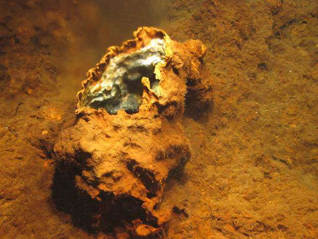
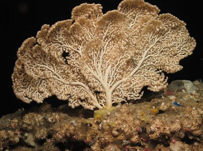
Location of operation
Gigante seamount, Mid-Atlantic Ridge (Azores EEZ)
Stations
Blue Azores 2018
| Leg | Period | Days at sea | Vessel | Departure | Return |
|---|---|---|---|---|---|
| 1 | 03/06/2018 - 23/06/2018 | 21 | NRP Almirante Gago Coutinho | Horta | Horta |
A total of 21 days at sea
Activities
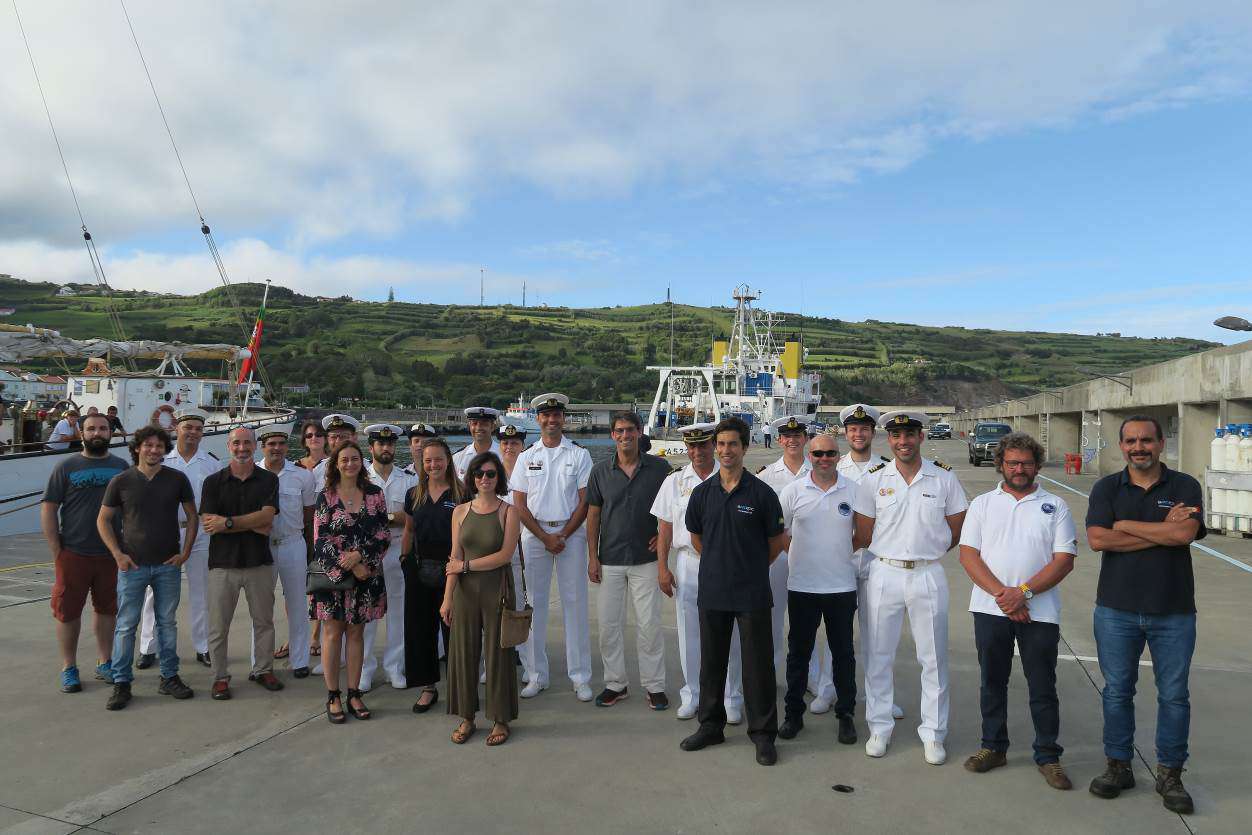
Scientific crew

Telmo Morato
Principal Investigator
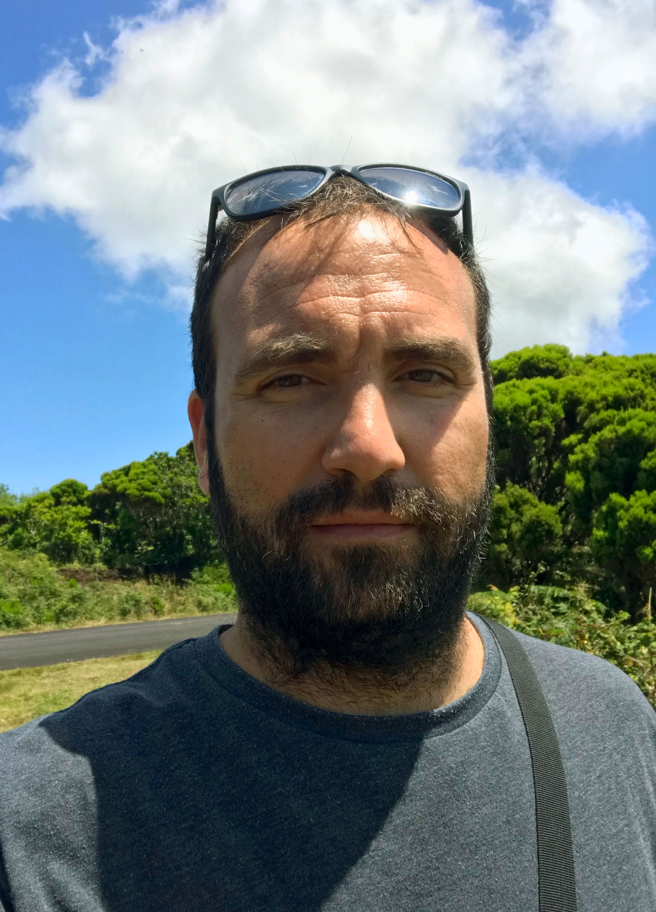
Carlos Dominguez-Carrió
Senior Scientist
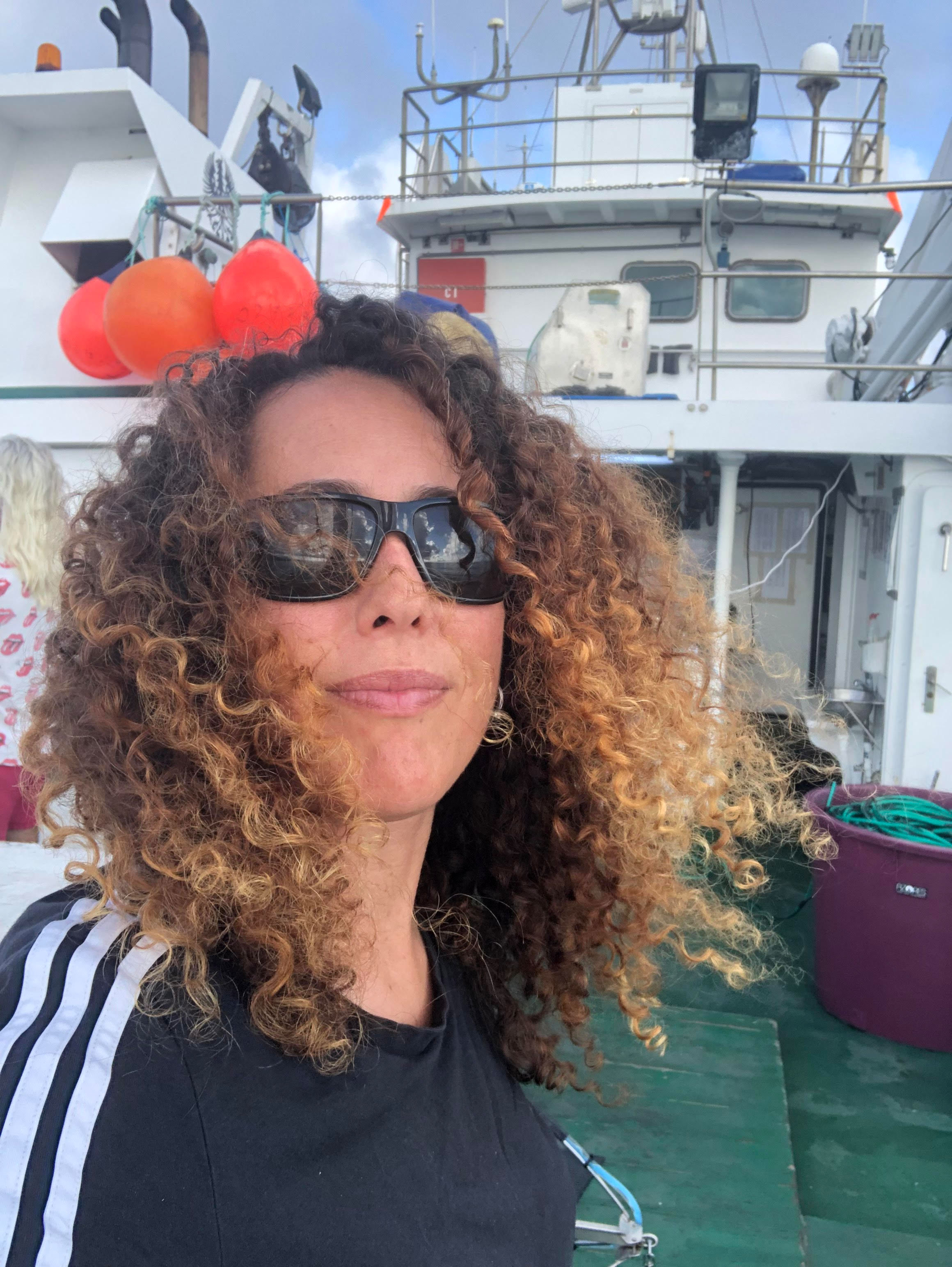
Manuela Ramos
Student

Laurence Fauconnet
Early-career Researcher
Collaborators
Authors list
10.5281/ZENODO.3416897



Authors list
10.5281/zenodo.4727164


Location
Departamento de Oceanografia e Pescas — Universidade dos Açores
Rua Prof. Doutor Frederico Machado, No. 4
9901-862 Horta, Portugal
Contact
Email: azoresdeepsea@gmail.com
AZORES DEEP-SEA RESEARCH © 2020-2025 — RELEASE 2.0.3
 VALTER MEDEIROS