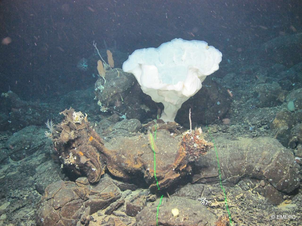
MapGES 2024 MT Physeter
Mapping deep-sea biodiversity and “Good Environmental Status” in the Azores
Summary
Mapping deep-sea biodiversity and “Good Environmental Status” in the Azores
Statistics
Highlights
Location of operation
São Miguel (Eastern Azores), Graciosa island slopes and lose-by seamlounts, and Ponta da Ilha of Pico Island (Central Azores)
Stations
MapGES 2024 MT Physeter
| Leg | Period | Days at sea | Vessel | Departure | Return |
|---|---|---|---|---|---|
| 1 | 29/06/2024 - 17/7/2024 | 19 | MT Physeter | Rabo de Peixe | Ponta Delgada |
| 2 | 20/7/2024 - 30/7/2024 | 11 | MT Physeter | Horta | Horta |
A total of 30 days at sea

Scientific crew
Location
Departamento de Oceanografia e Pescas — Universidade dos Açores
Rua Prof. Doutor Frederico Machado, No. 4
9901-862 Horta, Portugal
Contact
Email: azoresdeepsea@gmail.com
AZORES DEEP-SEA RESEARCH © 2020-2025 — RELEASE 2.0.3
 VALTER MEDEIROS