MapGES 2022
Mapping deep-sea biodiversity and “Good Environmental Status” in the Azores
Summary
Mapping deep-sea biodiversity and “Good Environmental Status” in the Azores
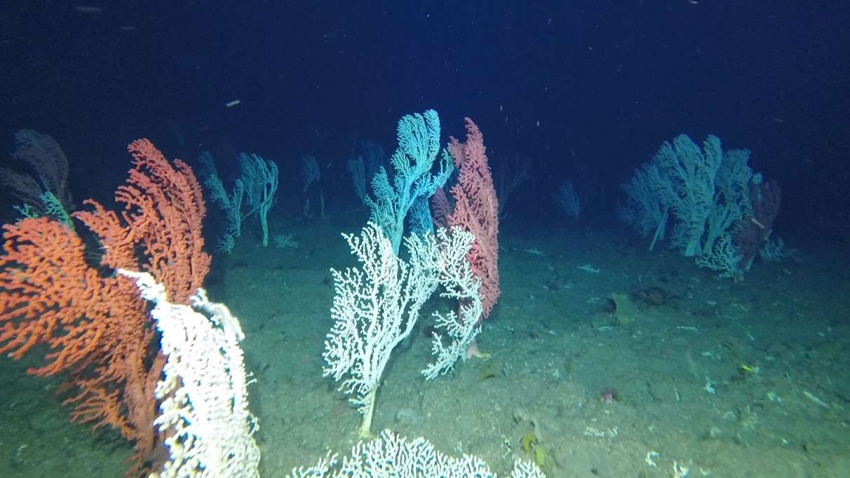
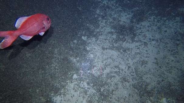
The MapGES 2022 survey was divided into 2 legs, which were planned to explore very distant areas of the Azores, namely the eastern and western group of islands (Table 1, Figure 1). Overall, 130 dives were accomplished in 22 sampling areas, which include 11 seamounts and the slopes of 5 different islands. During Leg 1, from 6th to 23rd July 2022, we performed 62 dives with the Azor drift-cam, covering 36.3 km of the seafloor and producing 60:33 hours of video footage, and 3.31TB of disc space. This leg surveyed the deep-sea benthic communities dwelling on the slopes of Flores island and Diogo de Teive and Cachalote seamounts on board the research vessel Arquipélago, together with some dives around Faial, Pico and São Jorge islands. During, Leg 2, from 14th to 28th August 2022, we performed 72 dives with the Azor drift-cam, covering 35 km of the seafloor and producing 69:38 hours of video footage, and 3.82TB of disc space. This leg surveyed the slopes around Santa Maria island, as well as several seamounts on their vicinity, some located on the easternmost part of the Azores archipelago. Leg 2 explored for the first time the seamounts of Albatroz do Meio, Girard, Maria Celeste and Margrette seamounts, and collected new information on the shallower areas of Formigas seamount, for which data was still lacking to complete the exploratory dives done in previous surveys.
MapGES 2022 is the continuation of our long term strategy to map deep-sea biodiversity and identify Vulnerable Marine Ecosystems (VMEs) in the Azores using the Azor drift-cam system. This year, we operated from the RV Arquipelago and were lucky to finally explore some long-awaited areas such as the Diogo de Teive and Cachalote seamounts, the Flores island slopes (western Azores), but also the Girard, Maria Celeste and Formigas seamounts and the Santa Maria island slopes (eastern Azores). As in other MapGES cruises, the objectives were to (i) map benthic communities inhabiting unexplored seamounts, ridges and island slopes, (ii) identify new areas that fit the FAO Vulnerable Marine Ecosystem definition; and (iii) determine distribution patterns of deep-sea benthic biodiversity in the Azores. The results of this cruise added to the previous contributions to identify the environmental drivers that determine the spatial distribution of deep-sea benthic biodiversity in the Azores. It also provided valuable information in the context of Good Environmental Status (GES), Marine Spatial Planning (MSP) and provide new insights on how to sustainably manage deep-sea ecosystems.
Statistics
Highlights
Location of operation
Flores, Cachalote seamount (western Azores), Faial, Pico and São Jorge island slopes (central Azores), Albatroz, Girard, Maria Celeste, Santa Maria, Formigas (eastern Azores)
Stations
MapGES 2022
| Leg | Period | Days at sea | Vessel | Departure | Return |
|---|---|---|---|---|---|
| 1 | 06/07/2022 - 23/07/2022 | 18 | RV Arquipélago | Horta | Horta |
| 2 | 14/08/2022 - 28/08/2022 | 15 | RV Arquipélago | Horta | Horta |
A total of 33 days at sea
Activities
Scientific crew

Telmo Morato
Principal Investigator
Luís Rodrigues
Senior Scientist

Sérgio Gomes
Research Assistant
Guilherme Gonçalves
Research Assistant
Inês Carneiro
Research Assistant
Carlos Dominguez-Carrió
Senior Scientist
Manuela Ramos
Student
Collaborators
Authors list
10.5281/ZENODO.7075749


Location
Departamento de Oceanografia e Pescas — Universidade dos Açores
Rua Prof. Doutor Frederico Machado, No. 4
9901-862 Horta, Portugal
Contact
Email: azoresdeepsea@gmail.com
AZORES DEEP-SEA RESEARCH © 2020-2025 — RELEASE 2.0.3
 VALTER MEDEIROS