

MapGES 2019
Mapping deep-sea biodiversity and “Good Environmental Status” in the Azores
Summary
Mapping deep-sea biodiversity and “Good Environmental Status” in the Azores
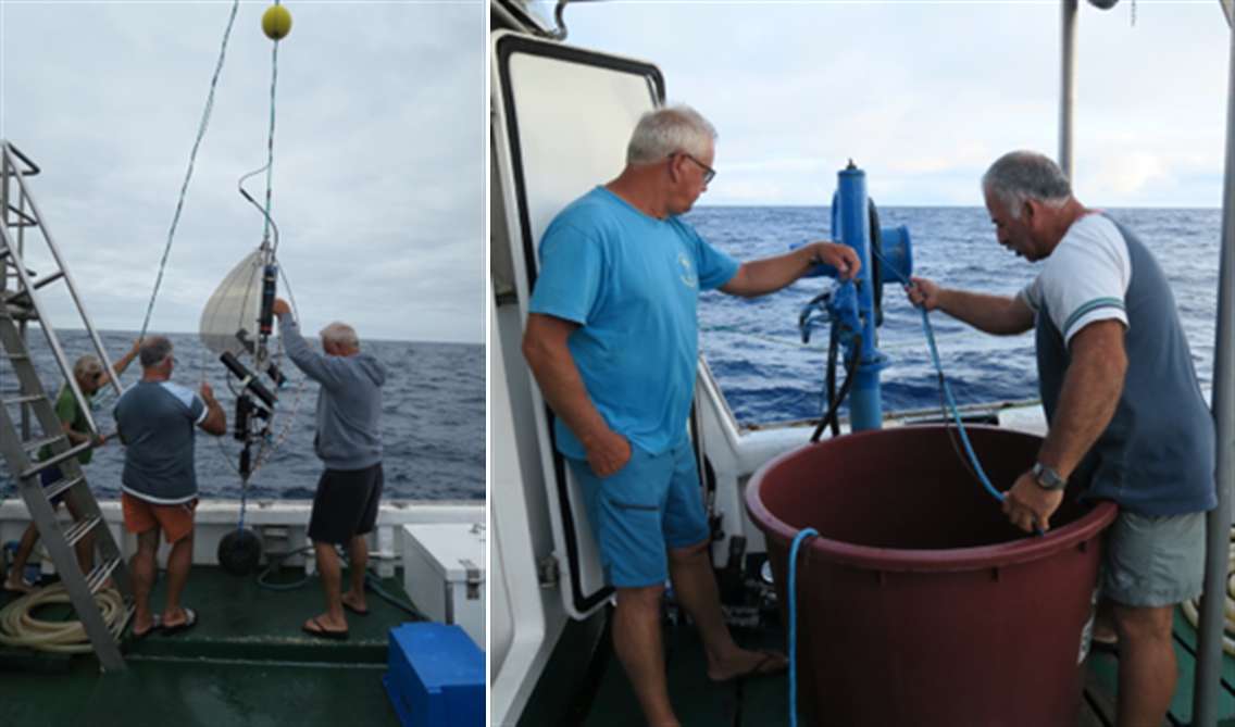
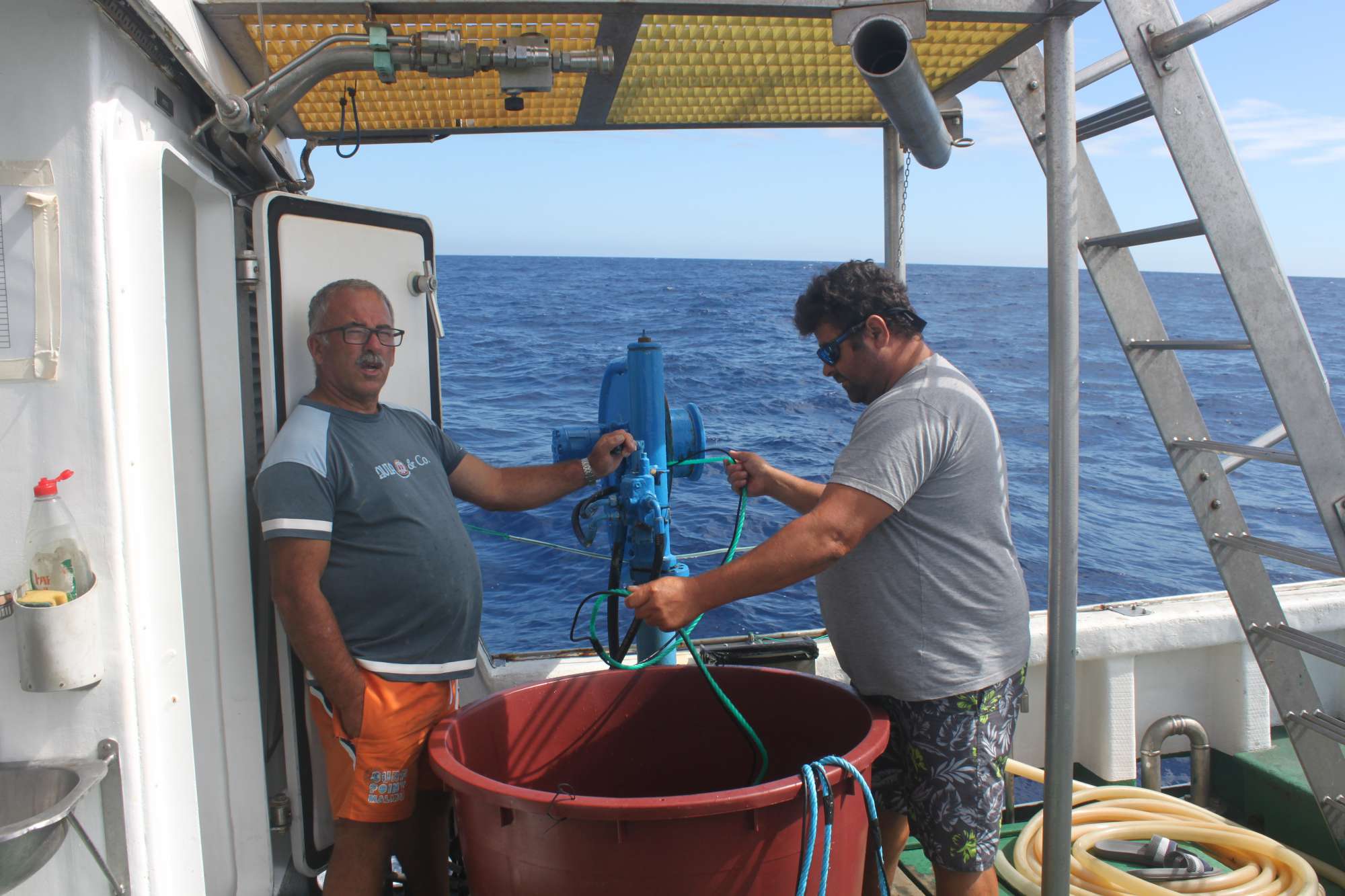
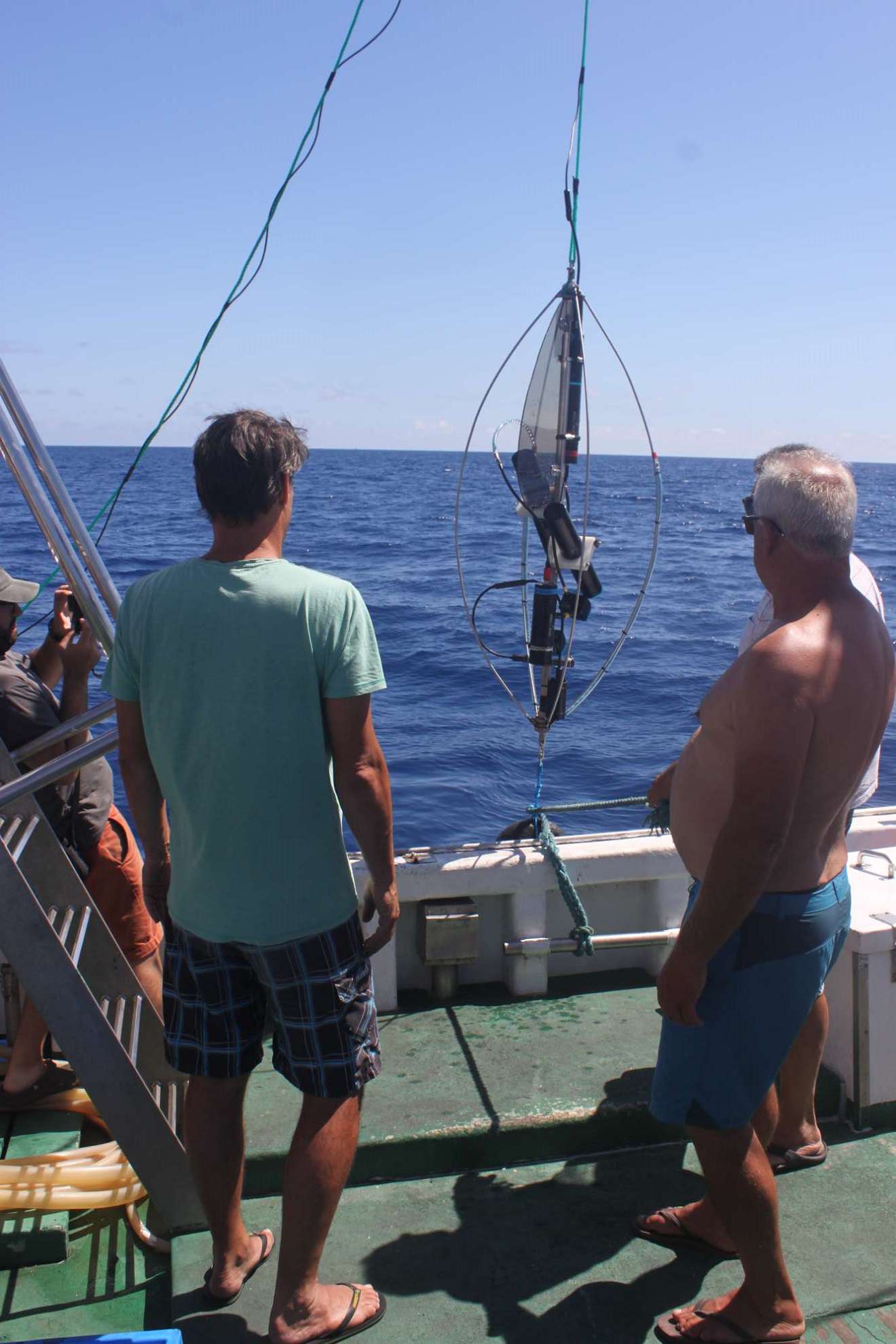
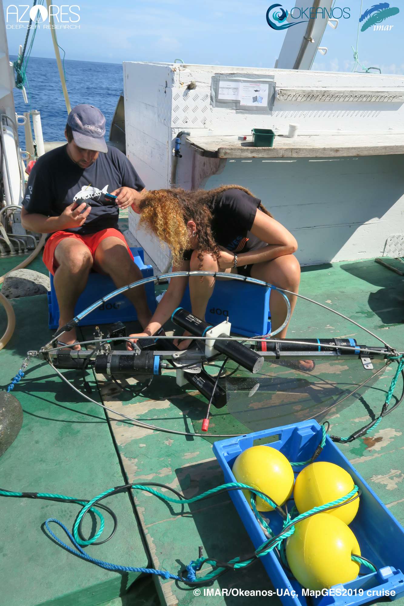
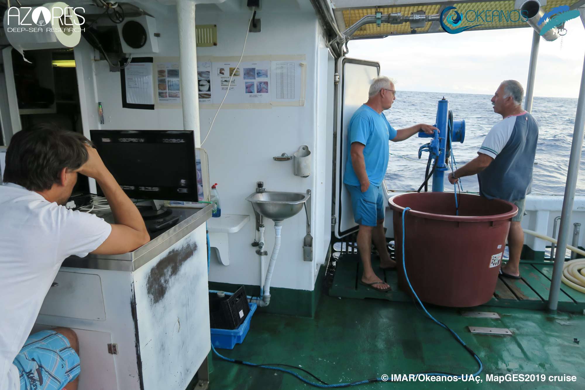
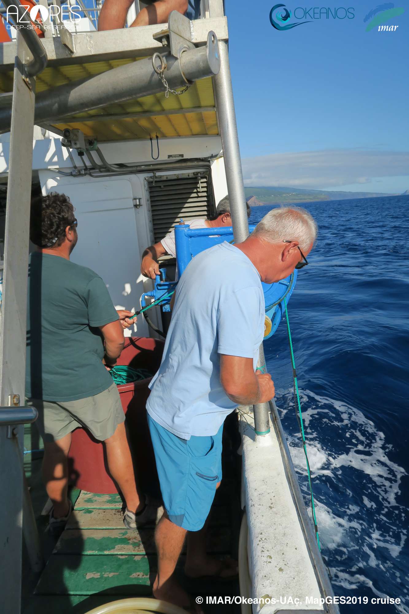
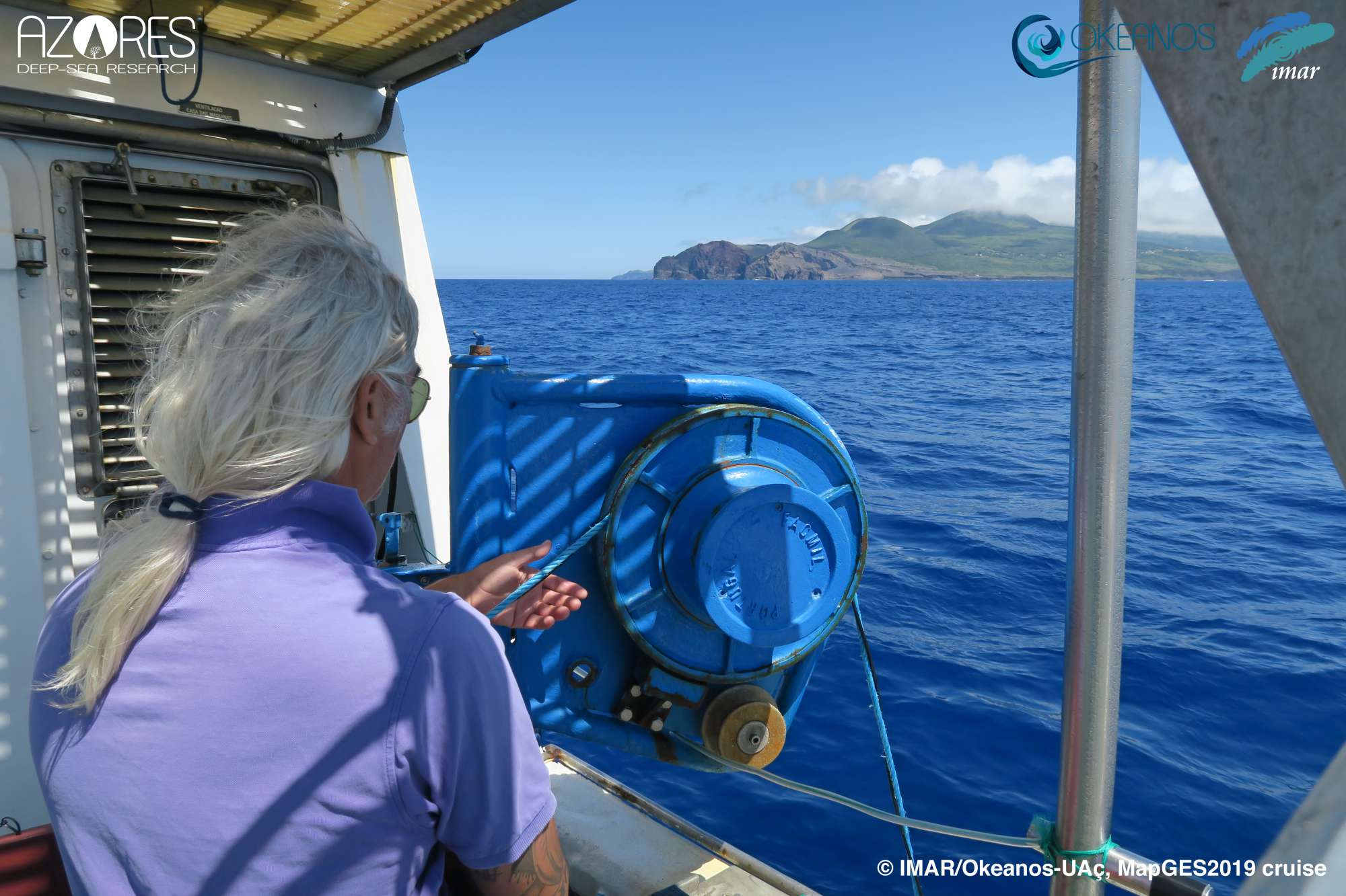
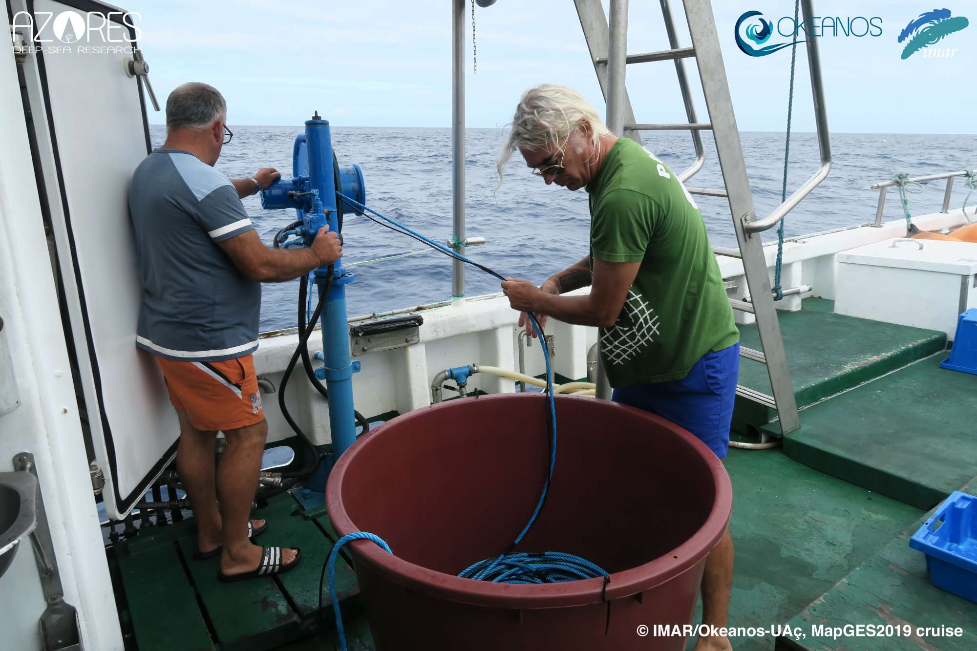
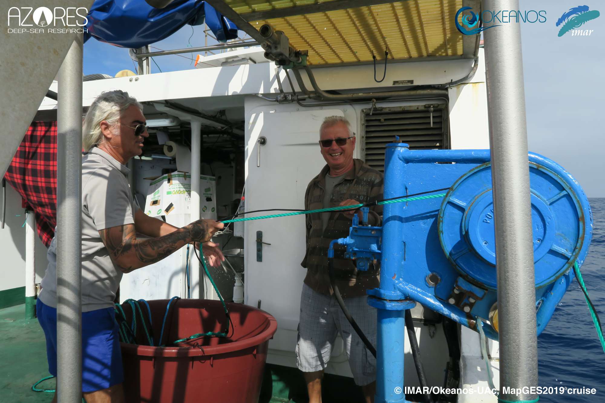
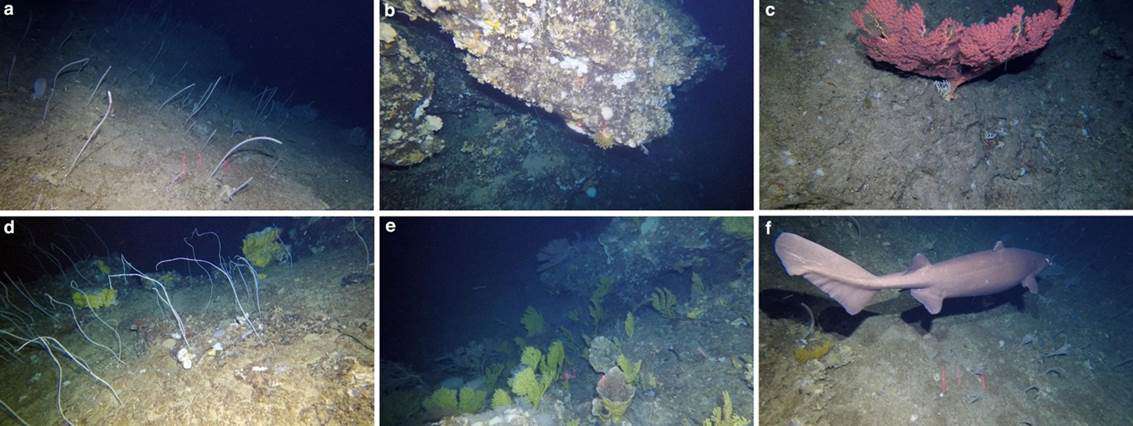
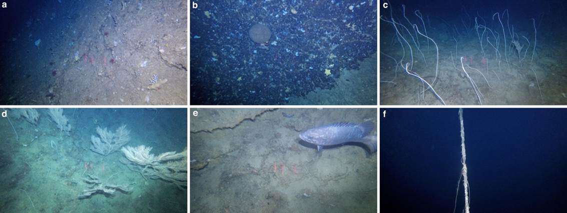
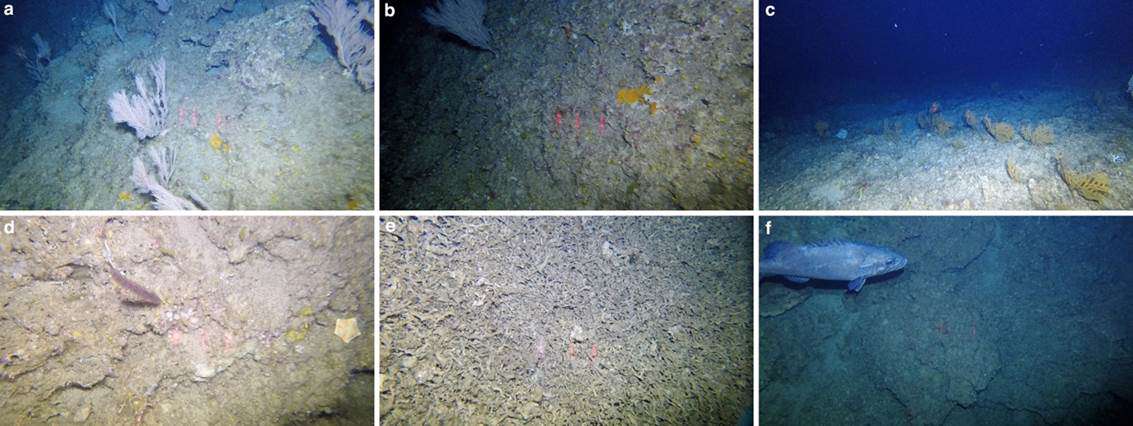
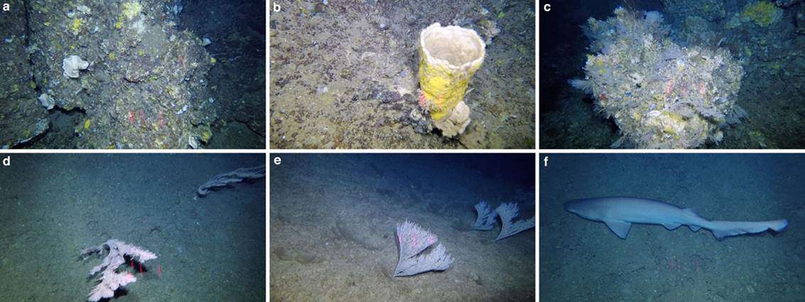
The MapGES 2019 cruise spanned a total of 21 effective days of work at sea, in which 8 different areas were explored with the Azor drift-cam system. A total of 155 deployments were made throughout the whole cruise, which add up to more than 109 hours of bottom time. The number of dives performed in each area was based on the size of the seamounts to be explored, the meteorological conditions and the ecological significance of the communities found. Overall, more than 80 linear km of seabed were investigated, ranging from 6 km explored in Capelinhos to more than 16 km in the Cavala, Beta, Ferradura and A6 seamount complex. The average dive length was 550 m, with 16 dives covering more than 1 linear km of seabed. Such long dives provide an idea of the great capacity of the drift-cam system to easily explore deep-sea areas when sea conditions are favourable. The system got caught a total of 7 times in fishing lines throughout the cruise but came back to the surface in perfect conditions in all cases.
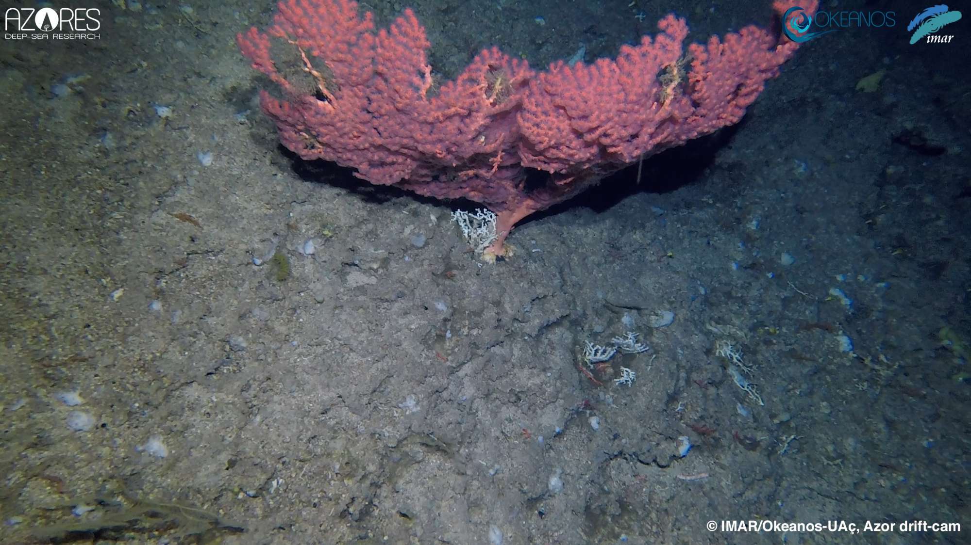
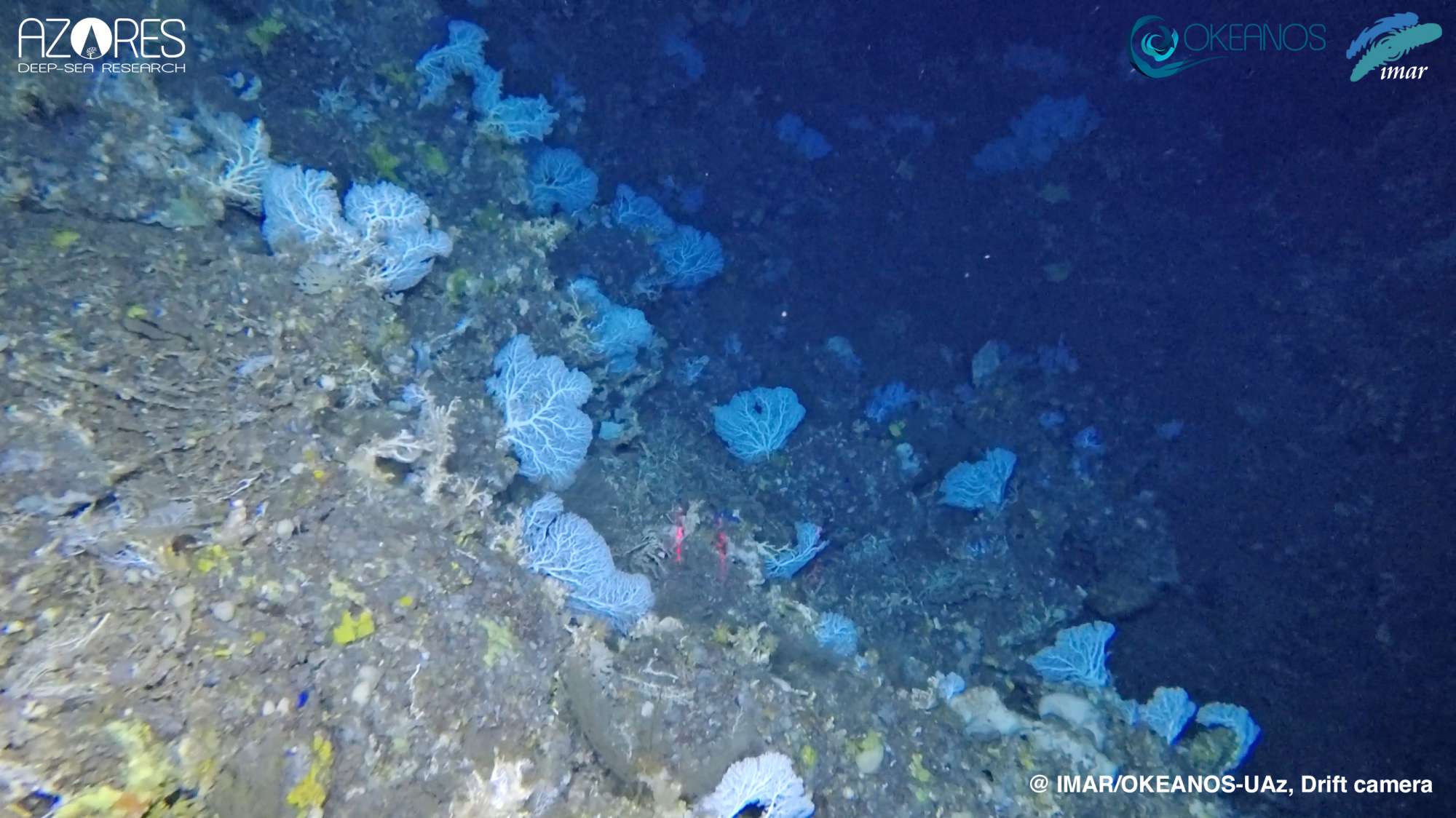
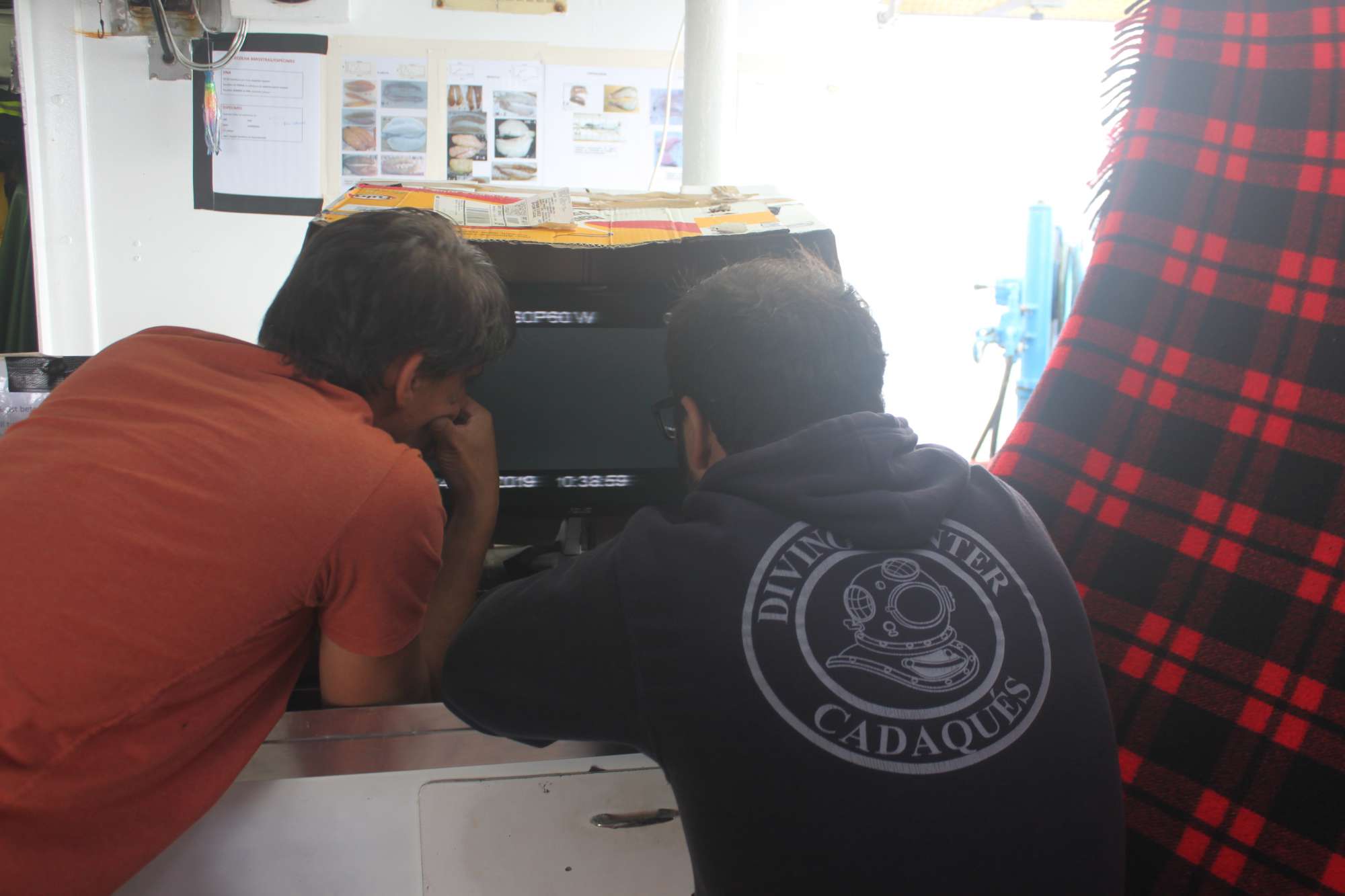
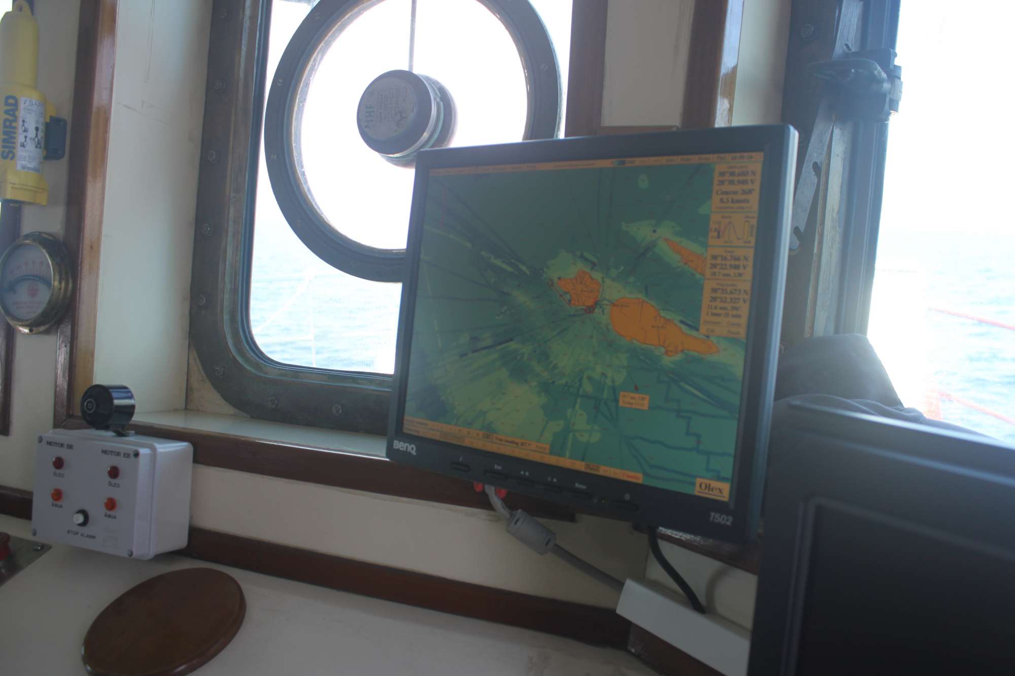
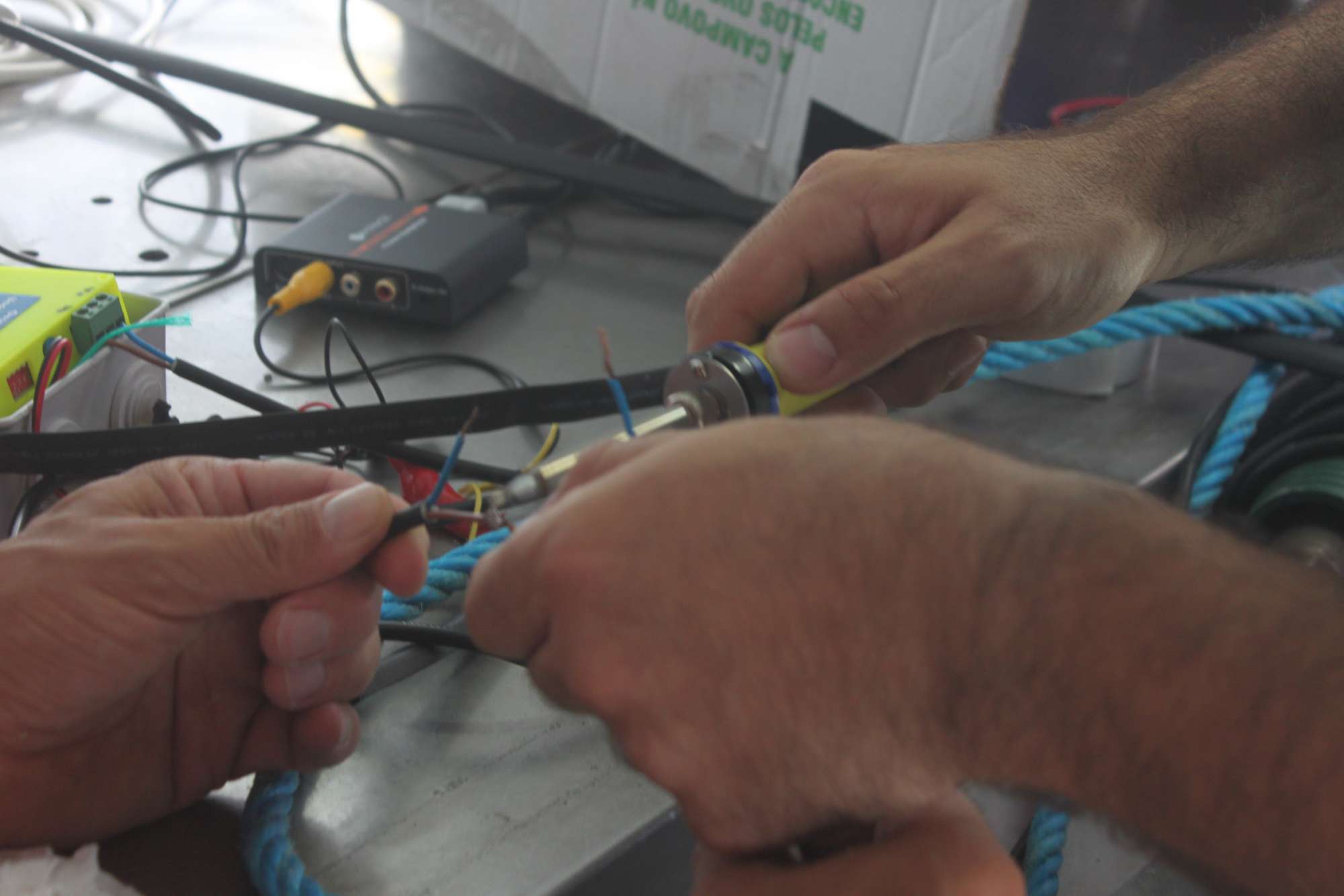
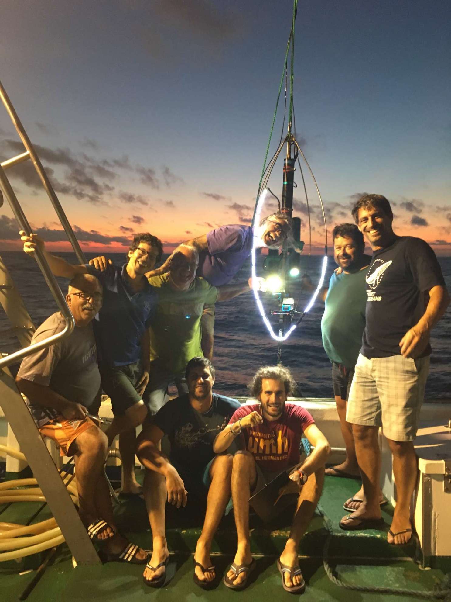
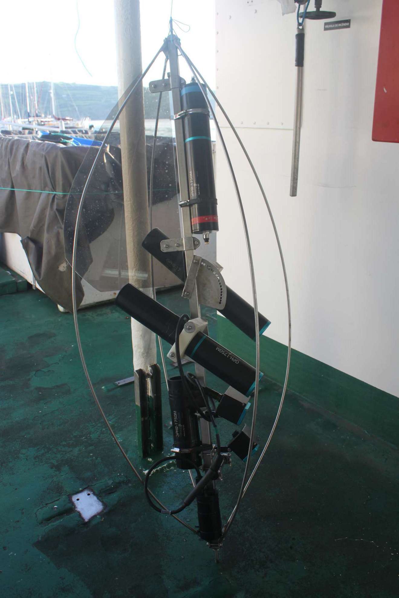
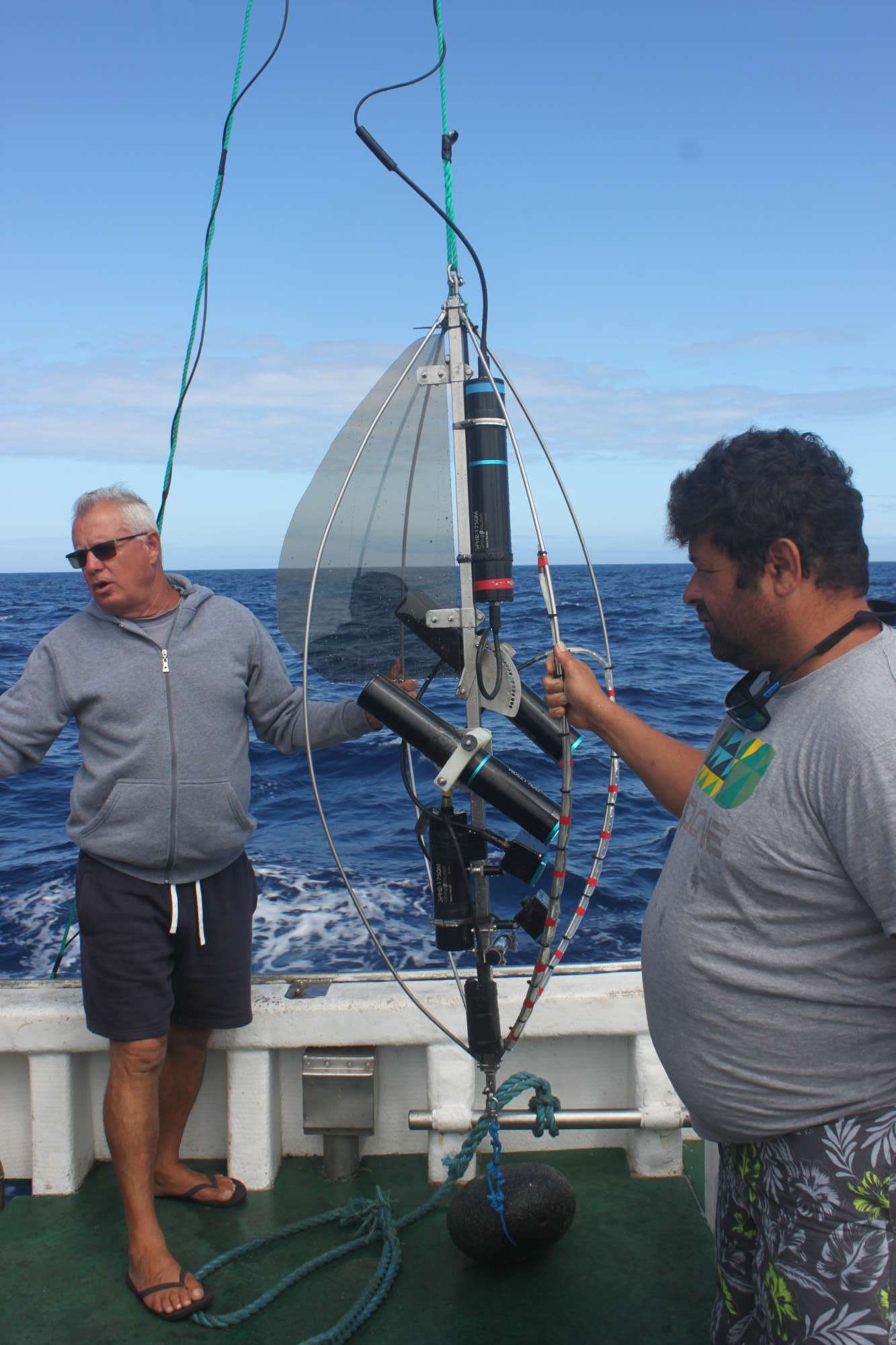
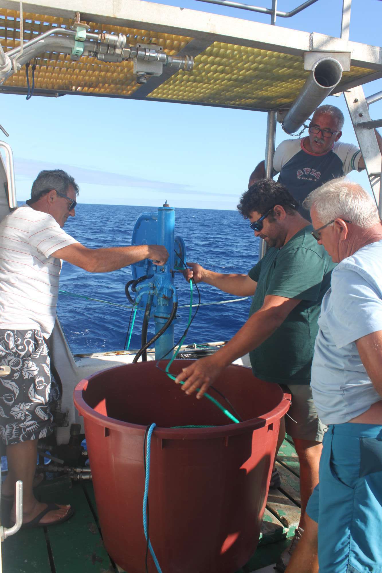
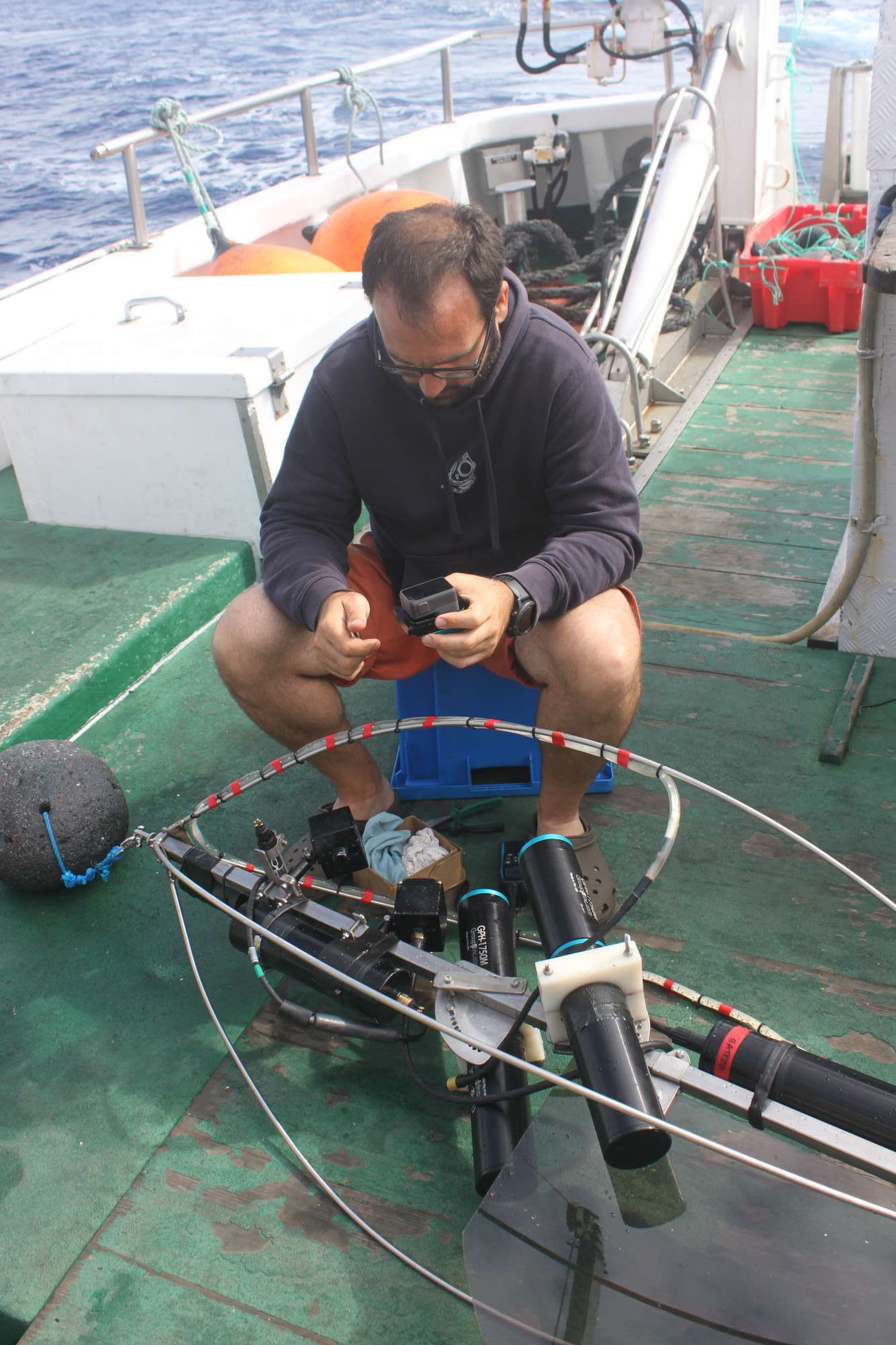
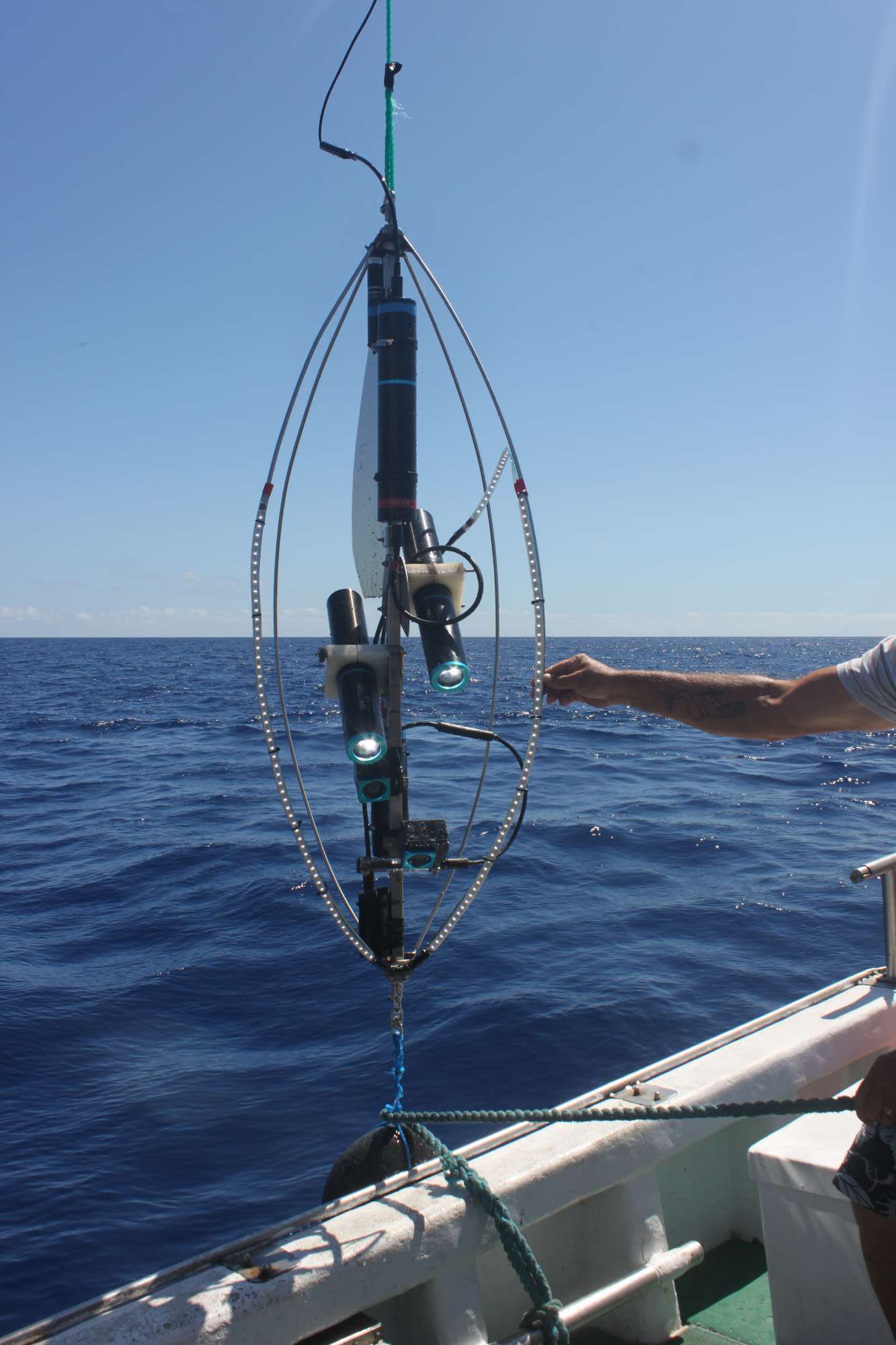
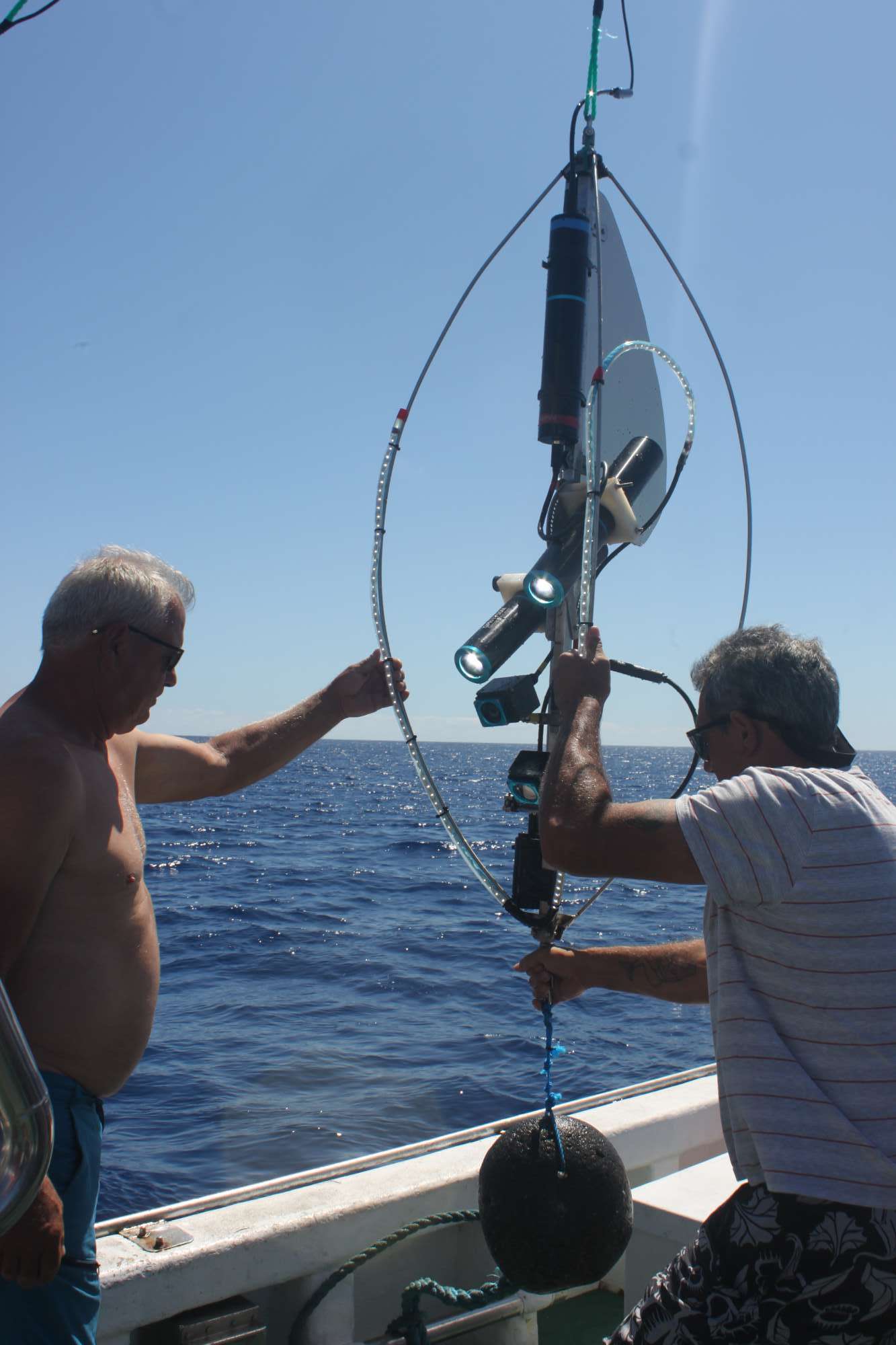
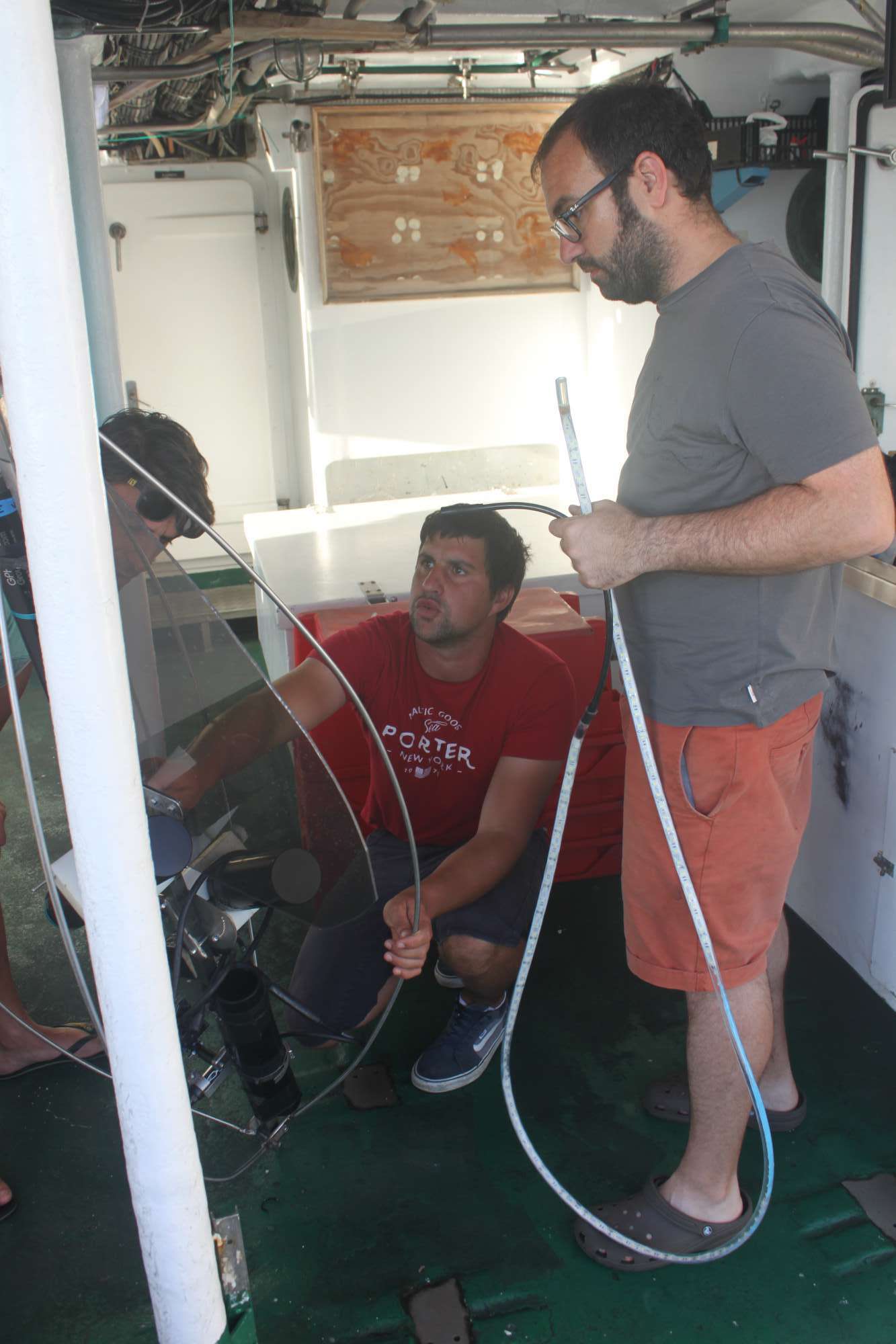
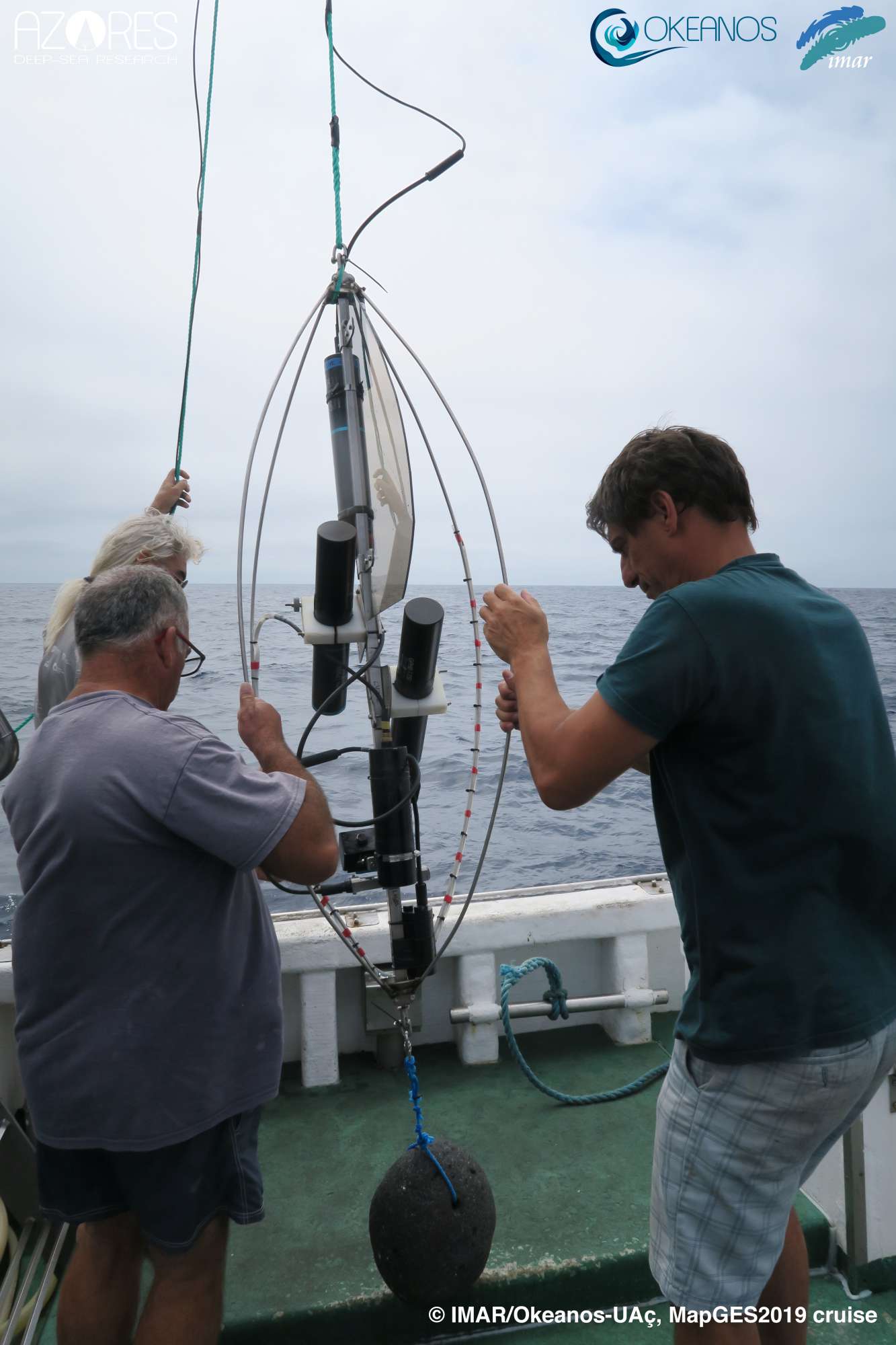
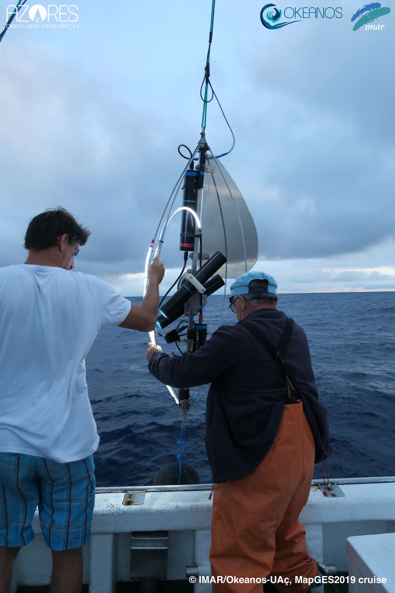
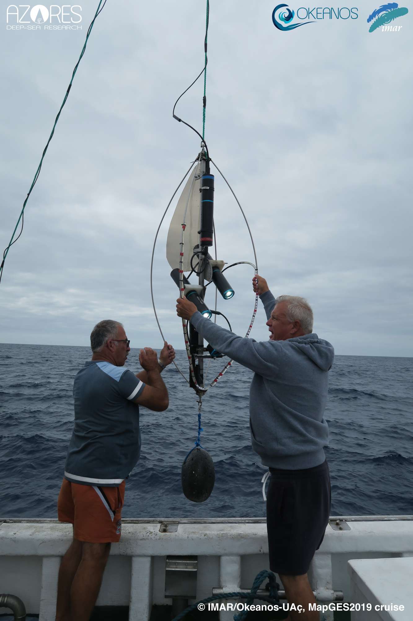
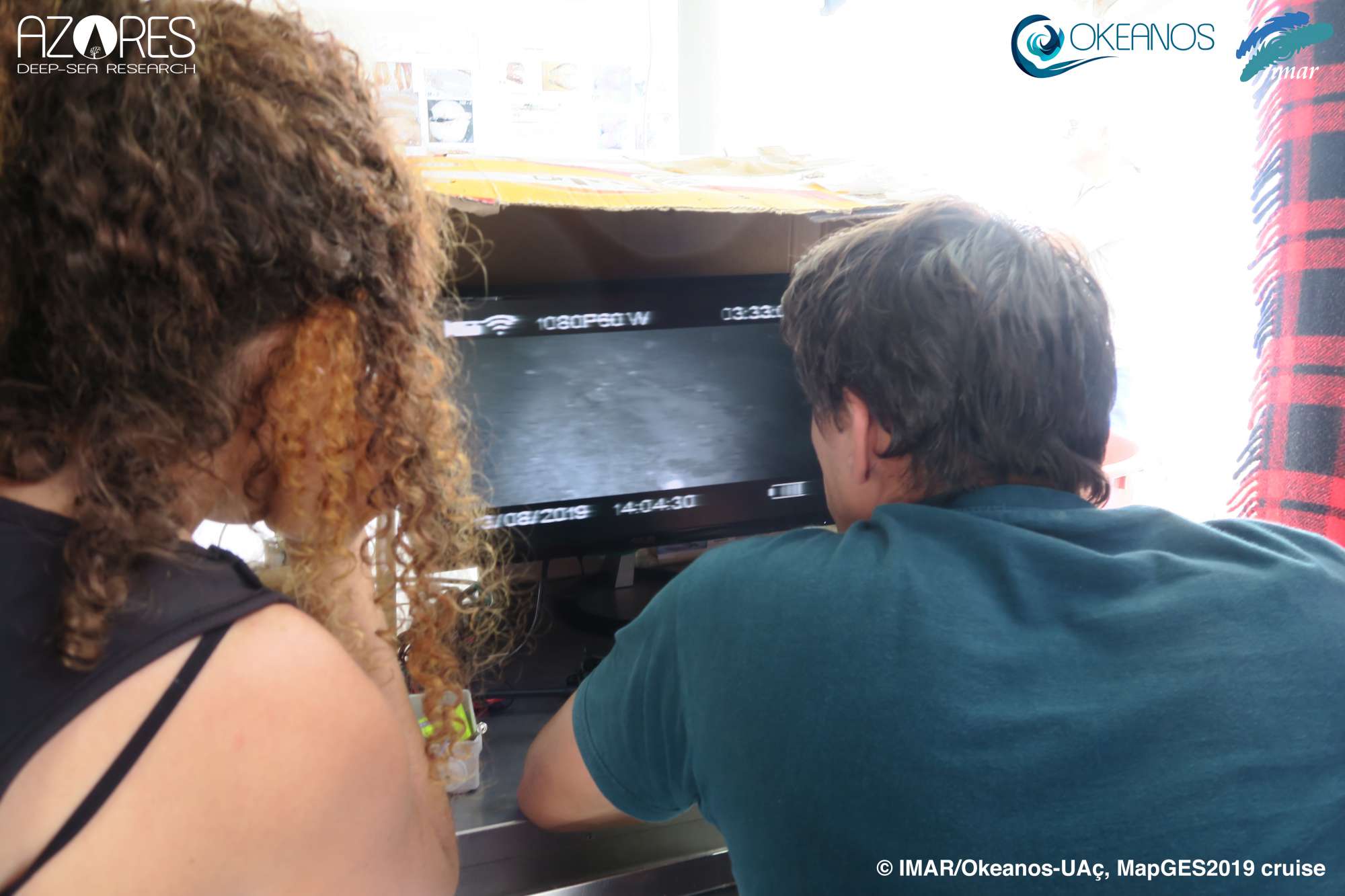
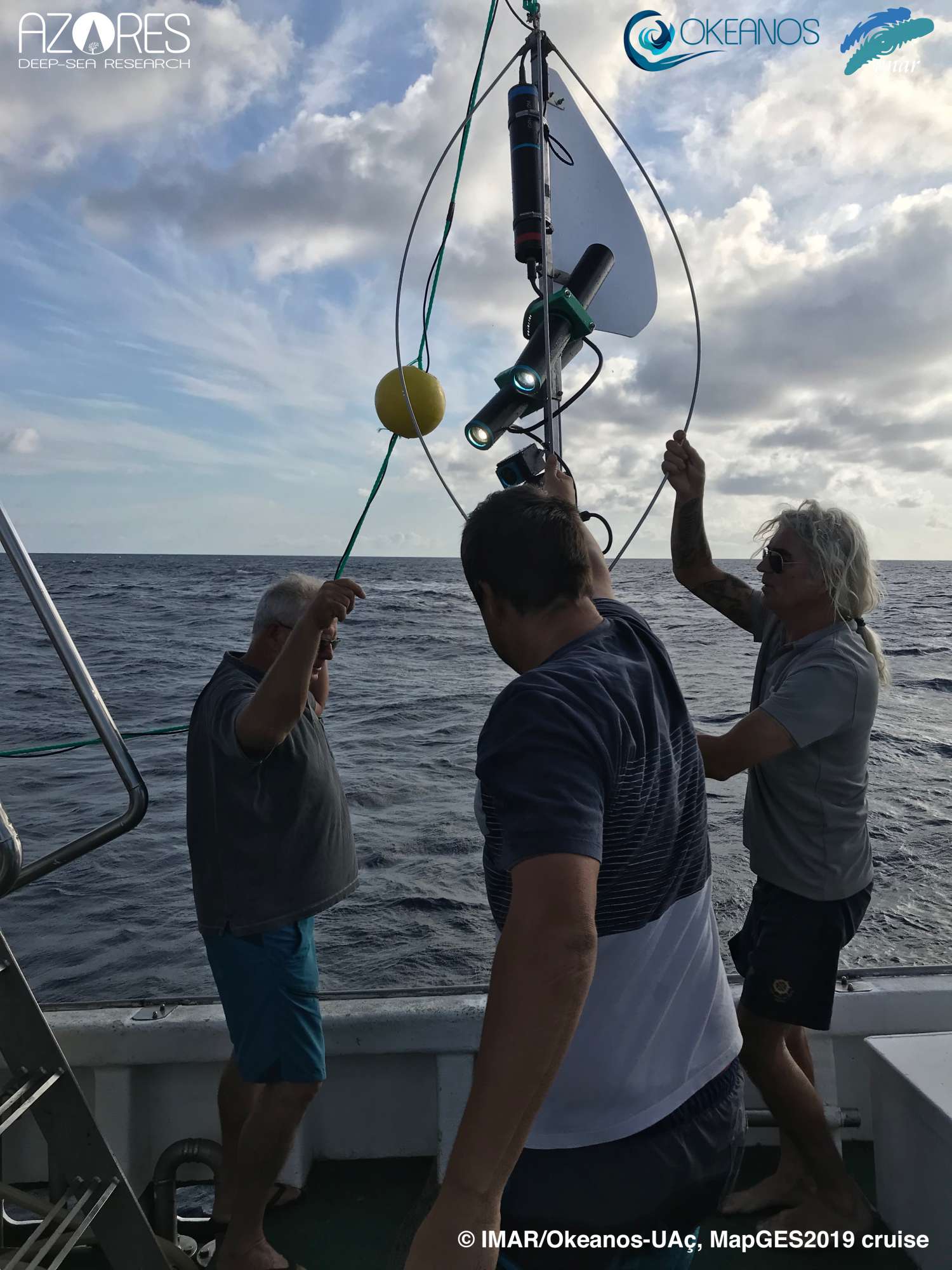
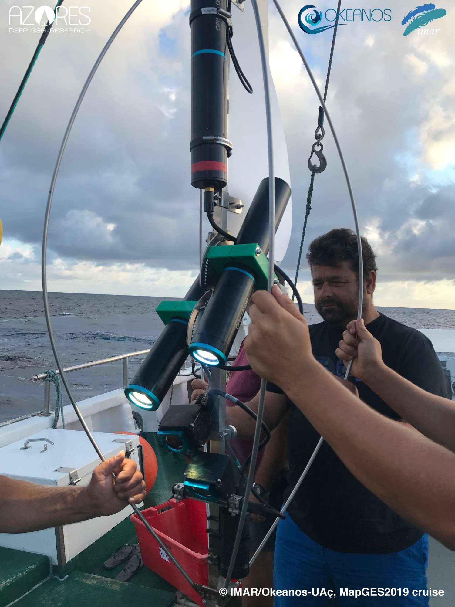
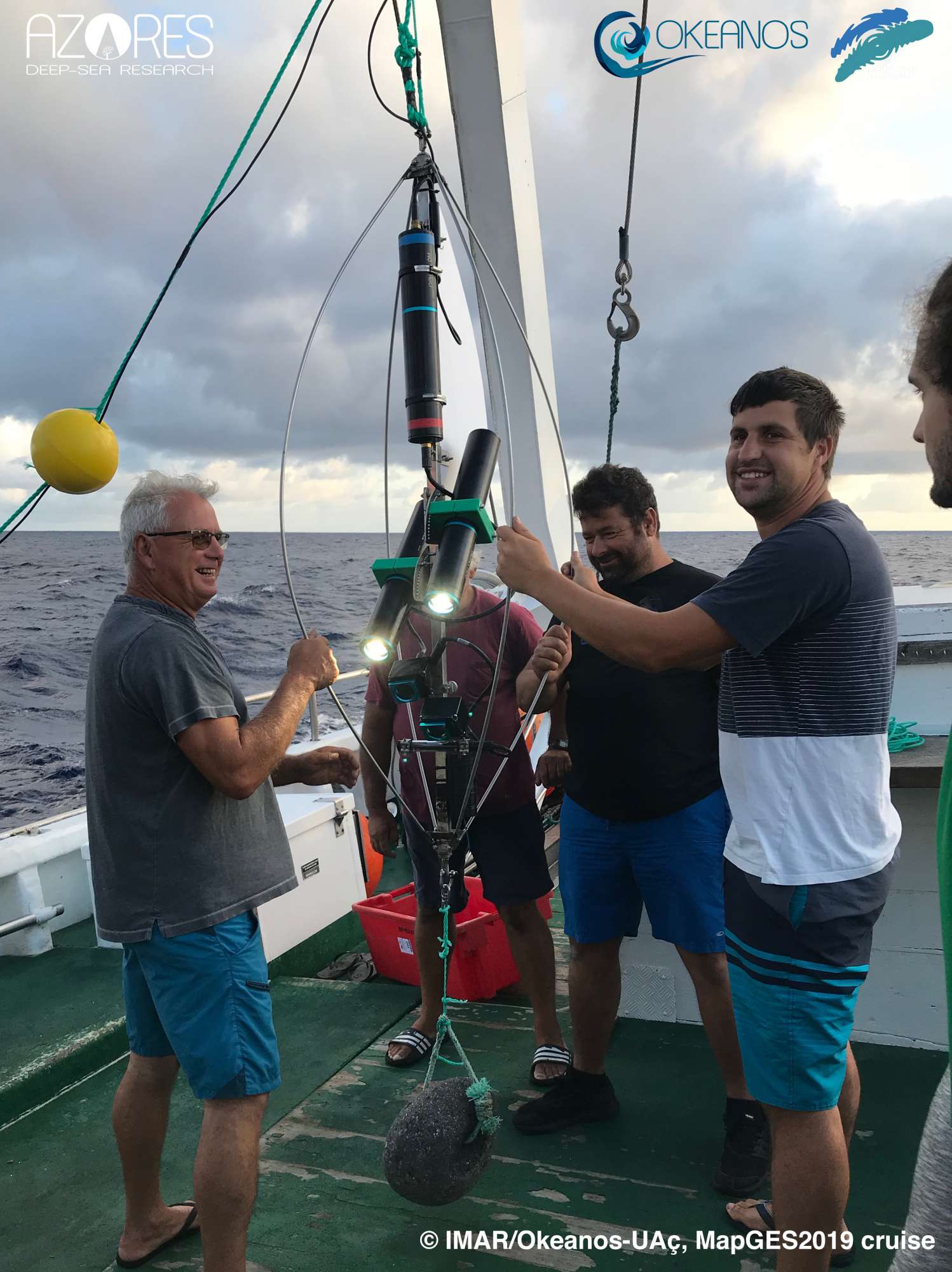
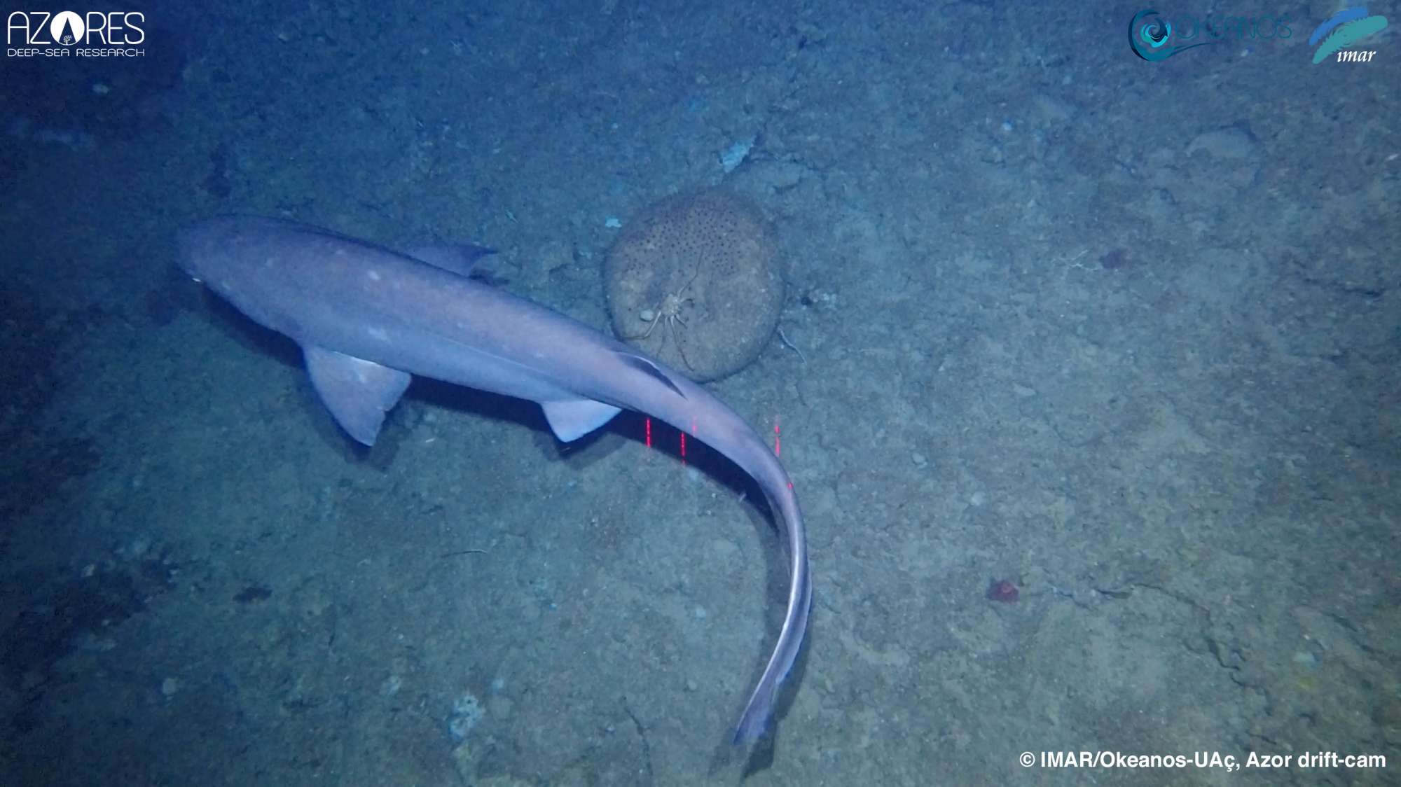
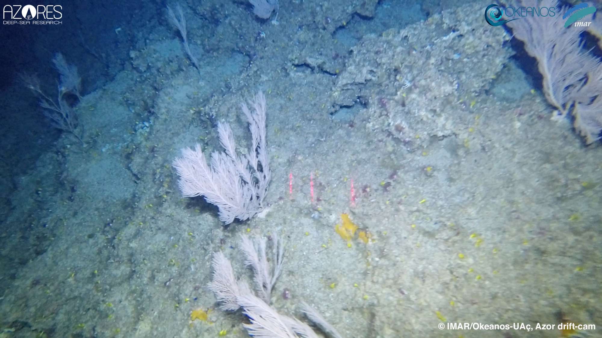
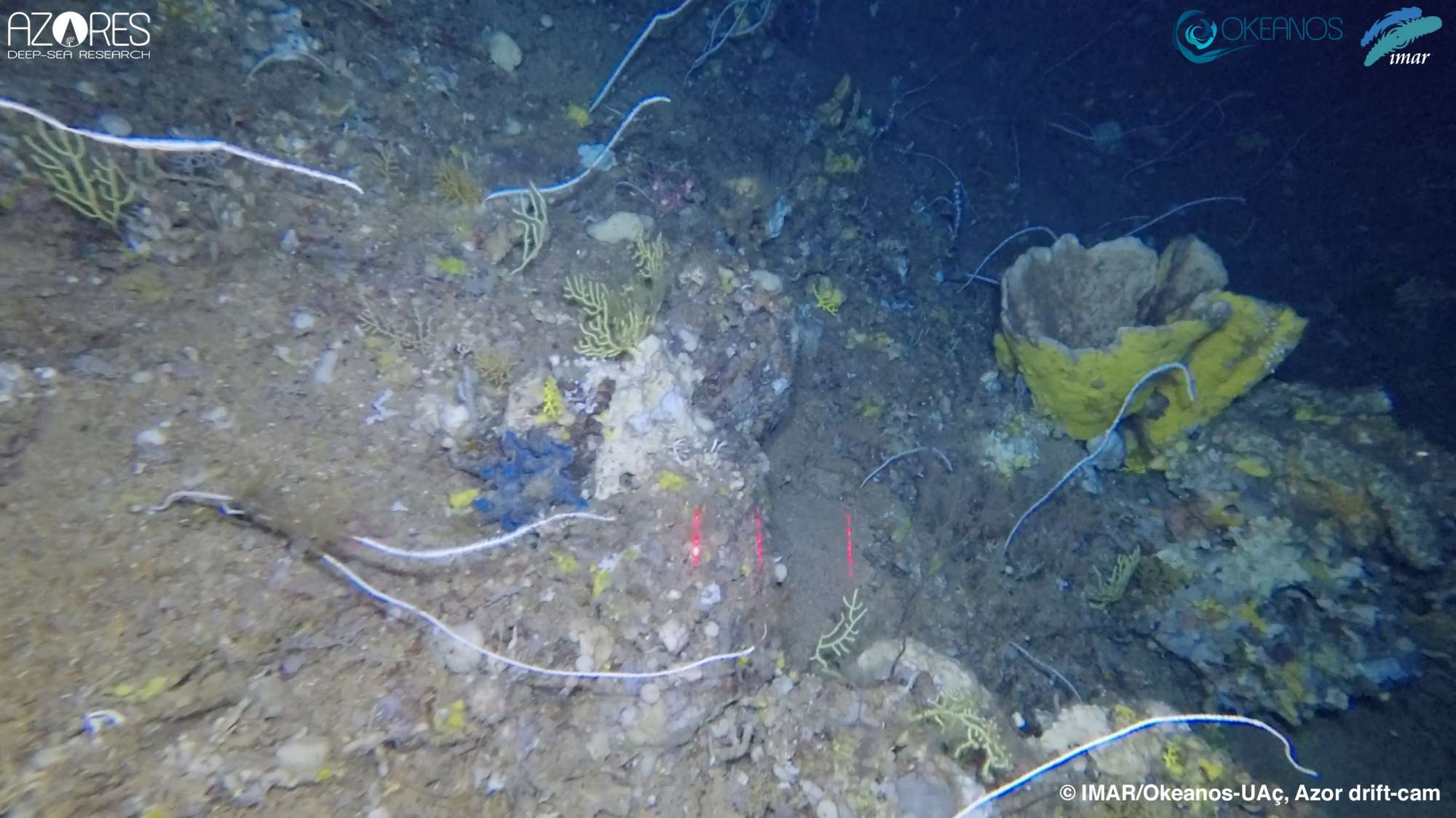
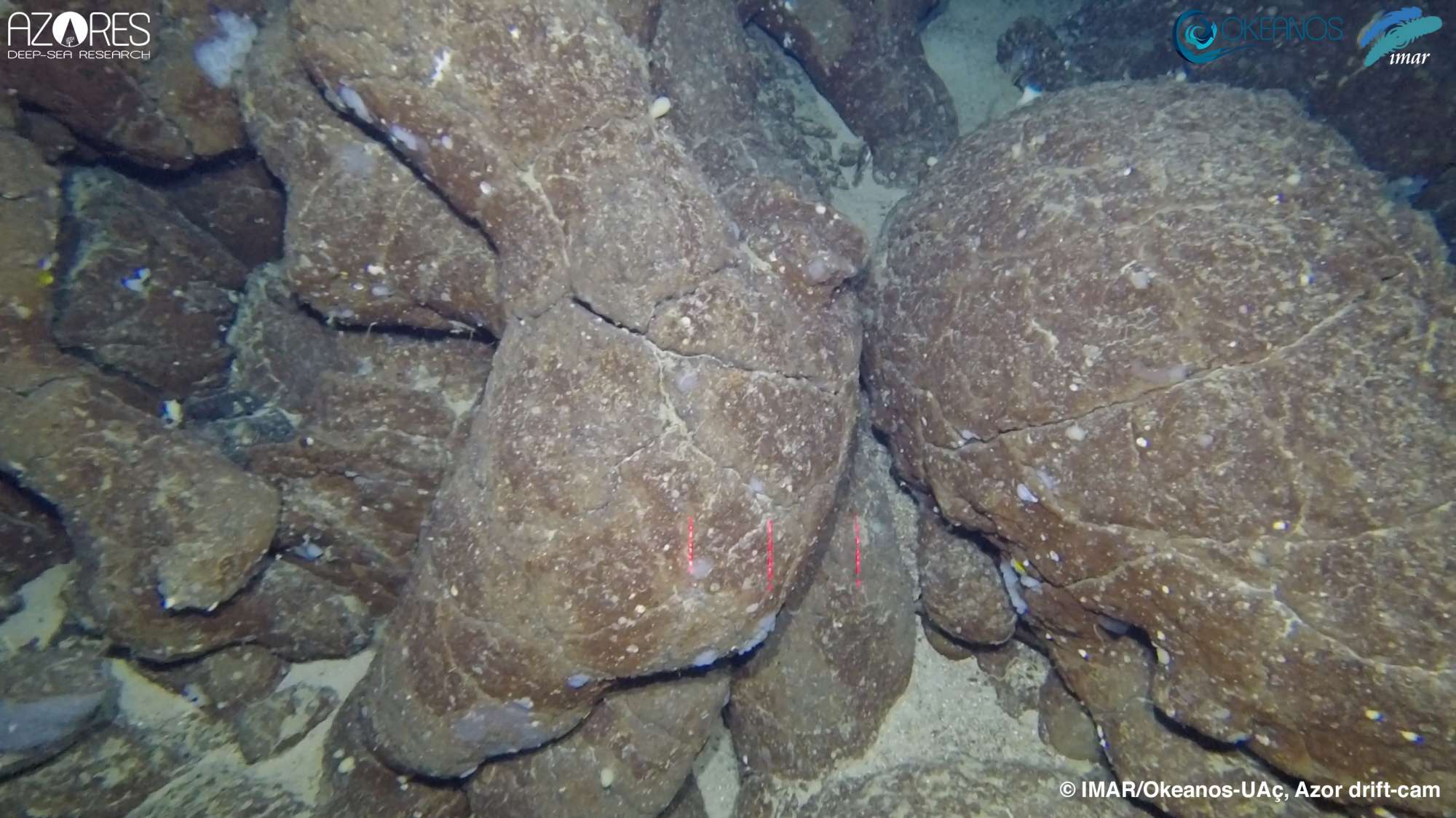
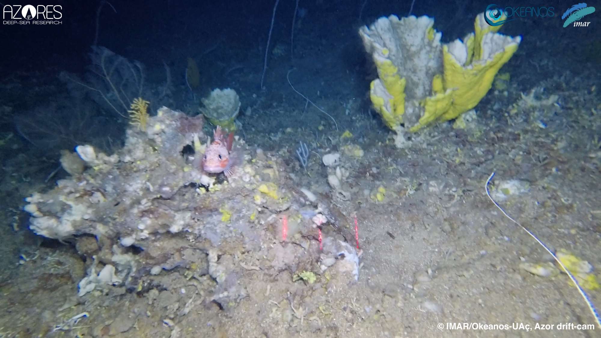
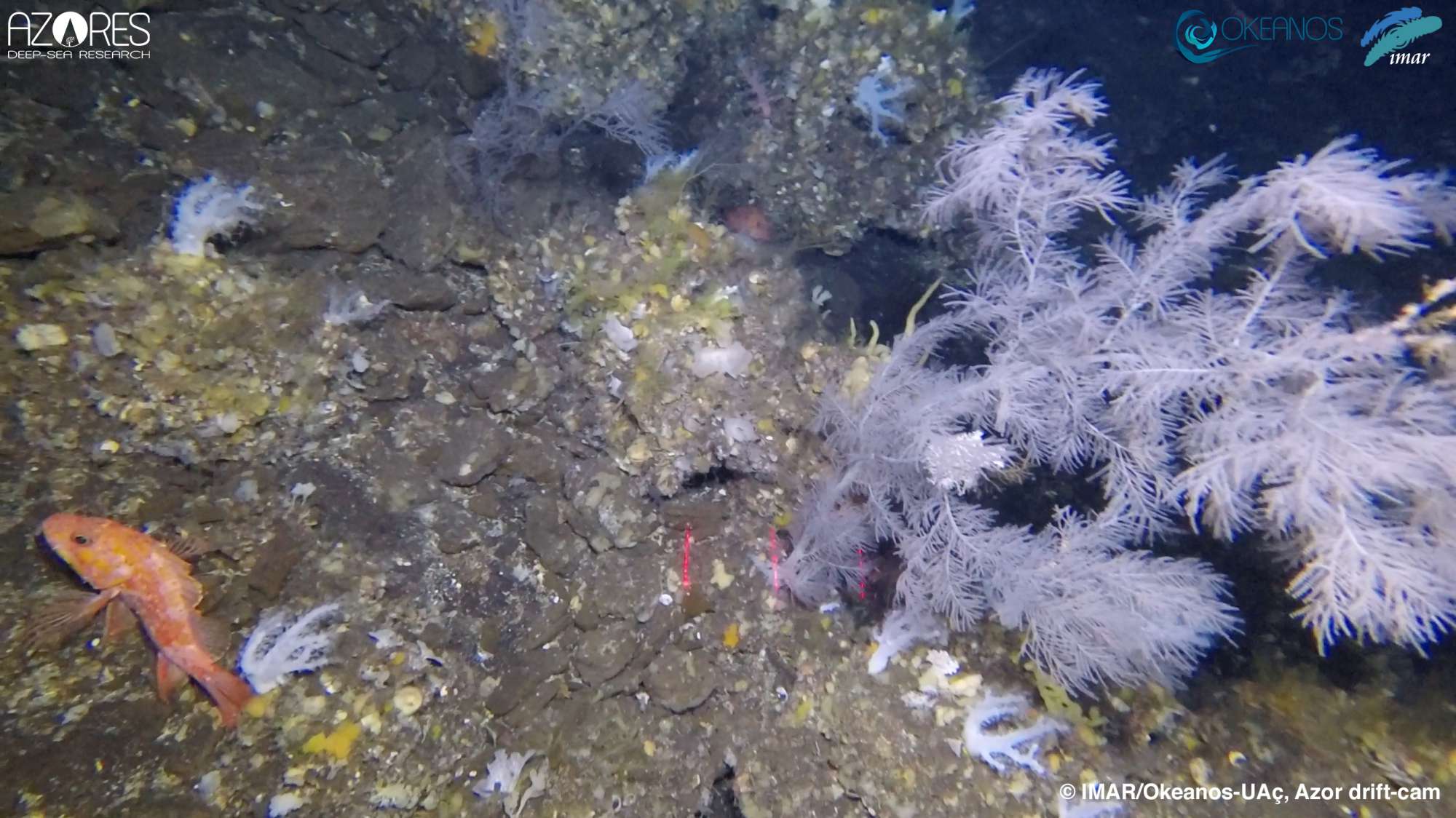
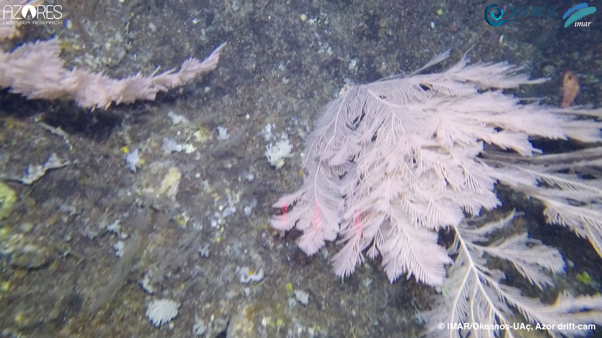
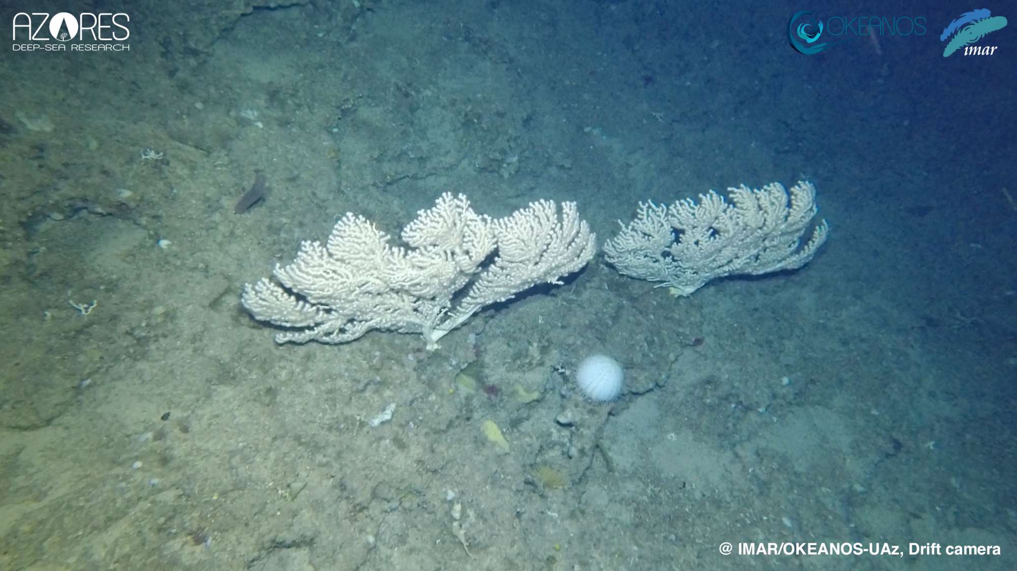
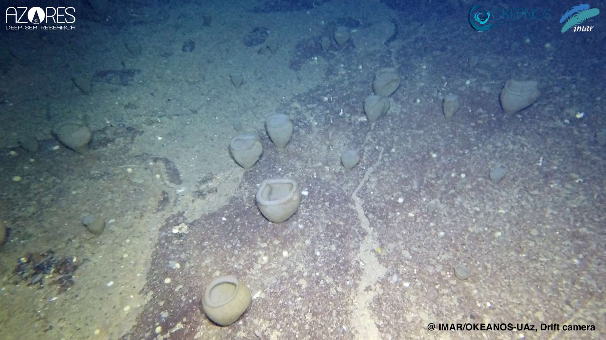
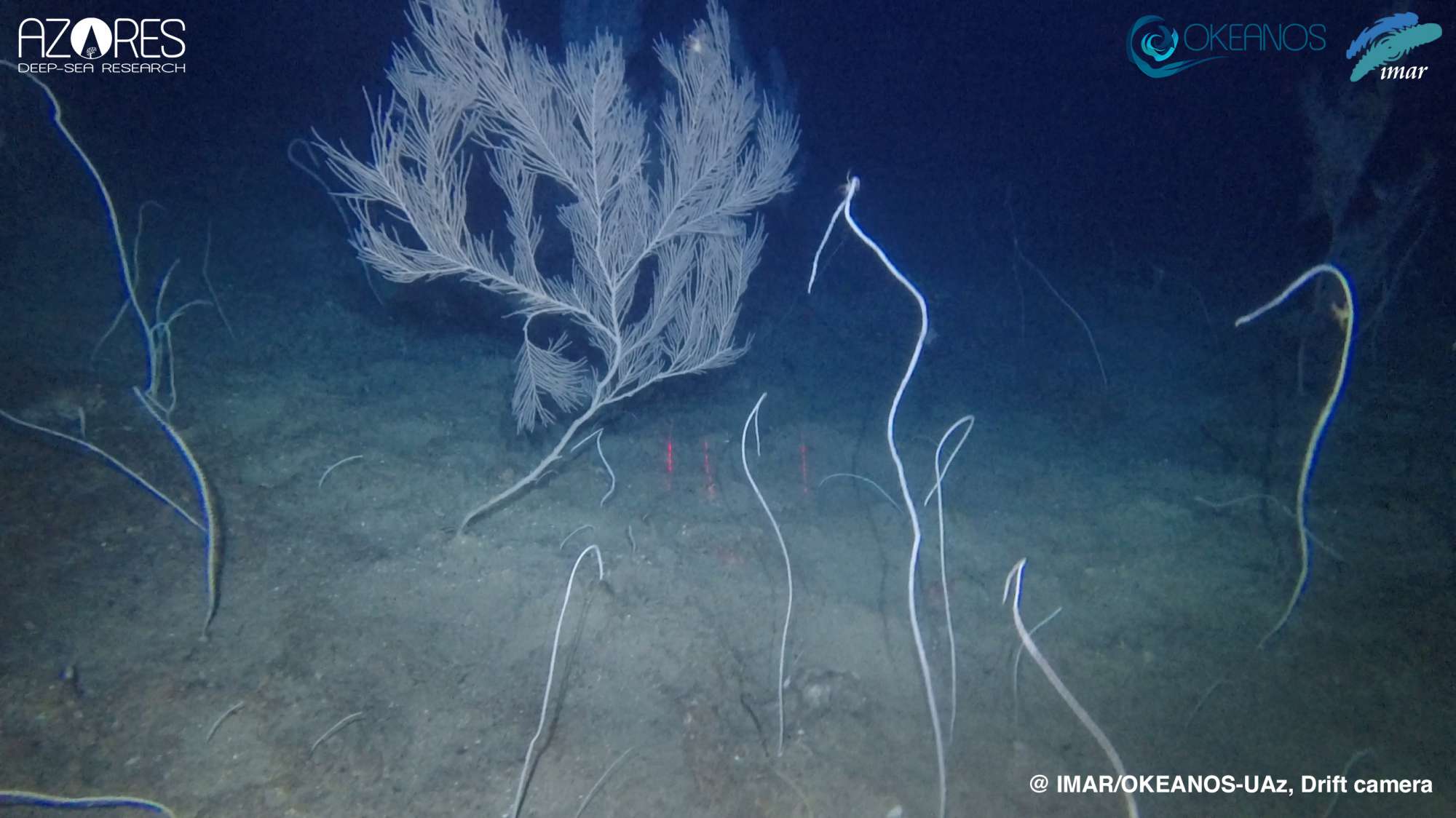
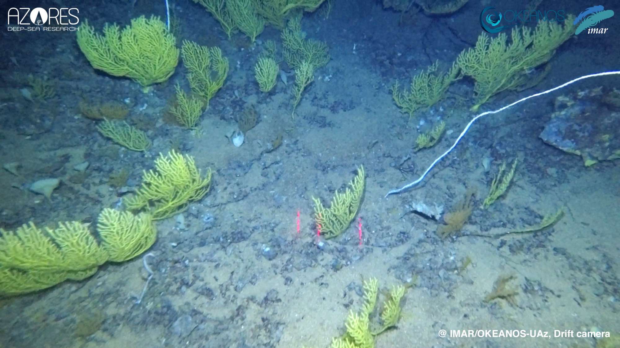
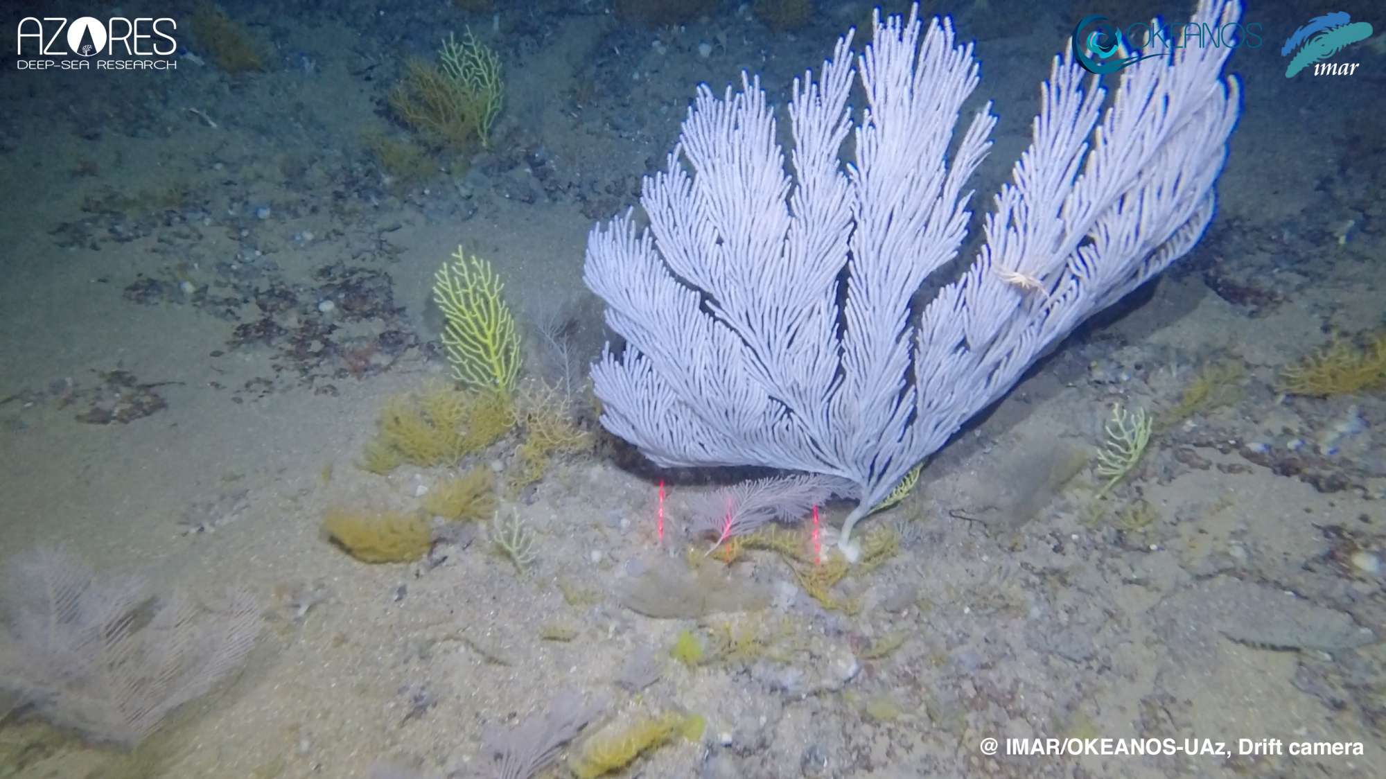
MapGES 2019 aimed to continue testing the improved version of the low-cost, custom-made drift-cam video system designed and developed at IMAR and Okeanos University of the Azores. The video system, named the Azor drift-cam, was equipped with one 4K resolution action camera that records high-quality images of the benthic ecosystem of the Azores deep-sea. It also has low-cost sensors that provide depth and temperature records every second. The new egg-shaped design facilitates the disentanglement from lost fishing gears once the drift-cam system gets caught, although their presence still limits the possibility of safely exploring seamounts that are heavily fished. From a scientific perspective, the cruise aimed to characterize the megabenthic communities dwelling between 200 and 750 m depth in areas of the Mid-Atlantic Ridge (MAR) and small seamounts close to the islands of Faial and Pico.
Statistics
Highlights
Location of operation
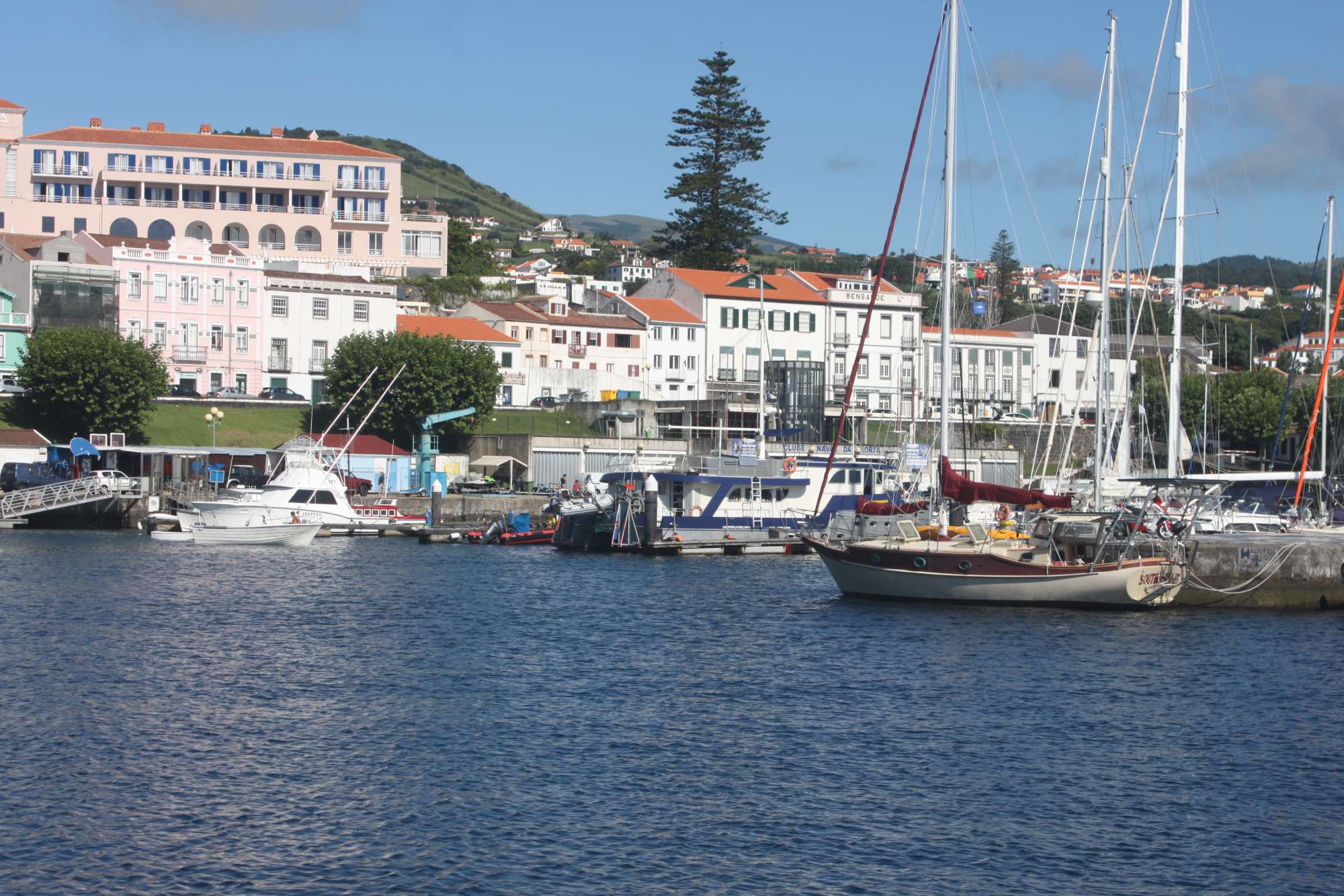
Southern Mid-Atlantic Ridge and Faial (Azores EEZ)
Stations
MapGES 2019
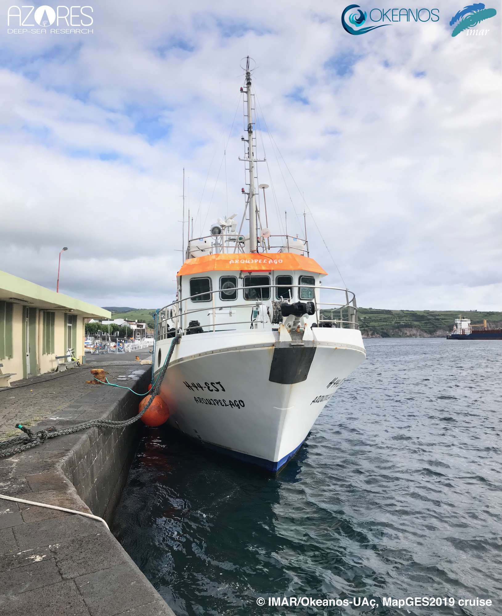
| Leg | Period | Days at sea | Vessel | Departure | Return |
|---|---|---|---|---|---|
| 1 | 23/07/2019 - 02/08/2019 | 11 | RV Arquipélago | Horta | Horta |
| 2 | 13/08/2019 - 24/08/2019 | 12 | RV Arquipélago | Horta | Horta |
| 3 | 26/08/2019 - 03/09/2019 | 9 | RV Arquipélago | Horta | Horta |
| 4 | 15/11/2019 - 16/11/2019 | 2 | RV Arquipélago | Horta | Horta |
A total of 34 days at sea
Activities
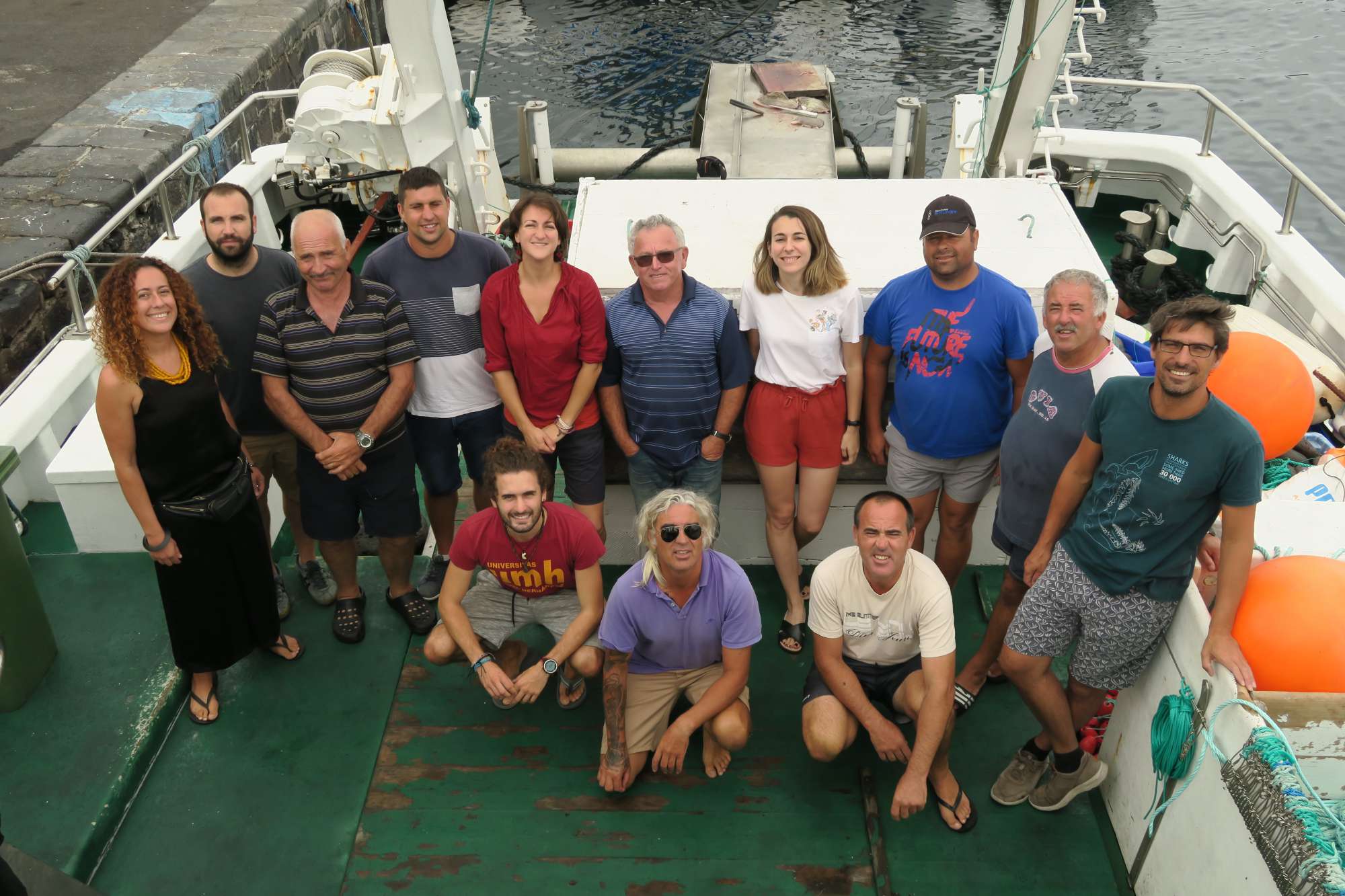
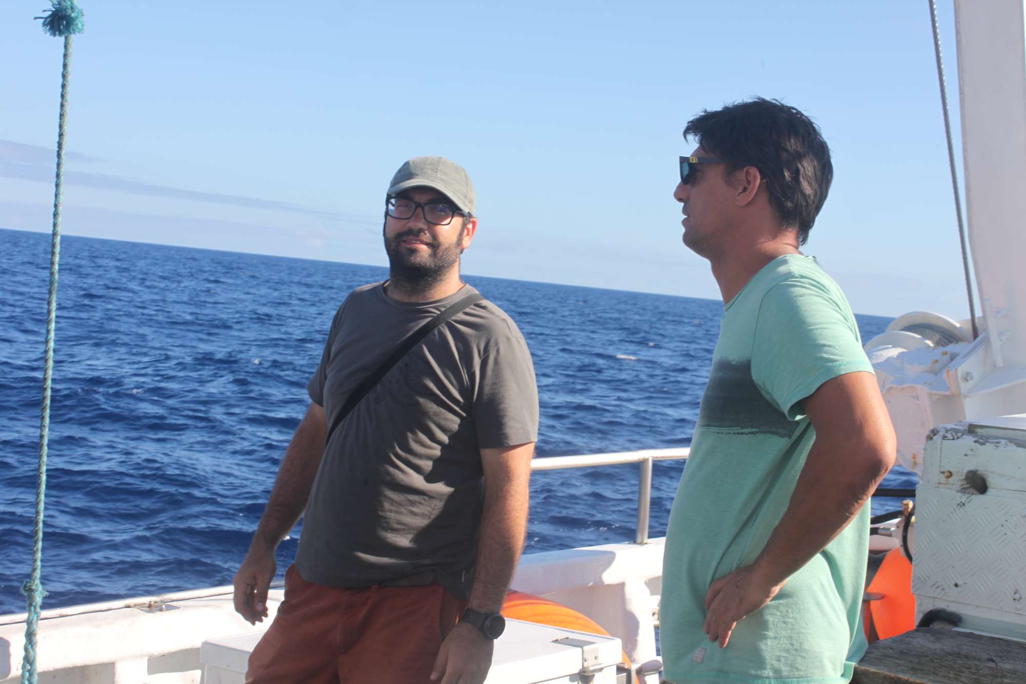
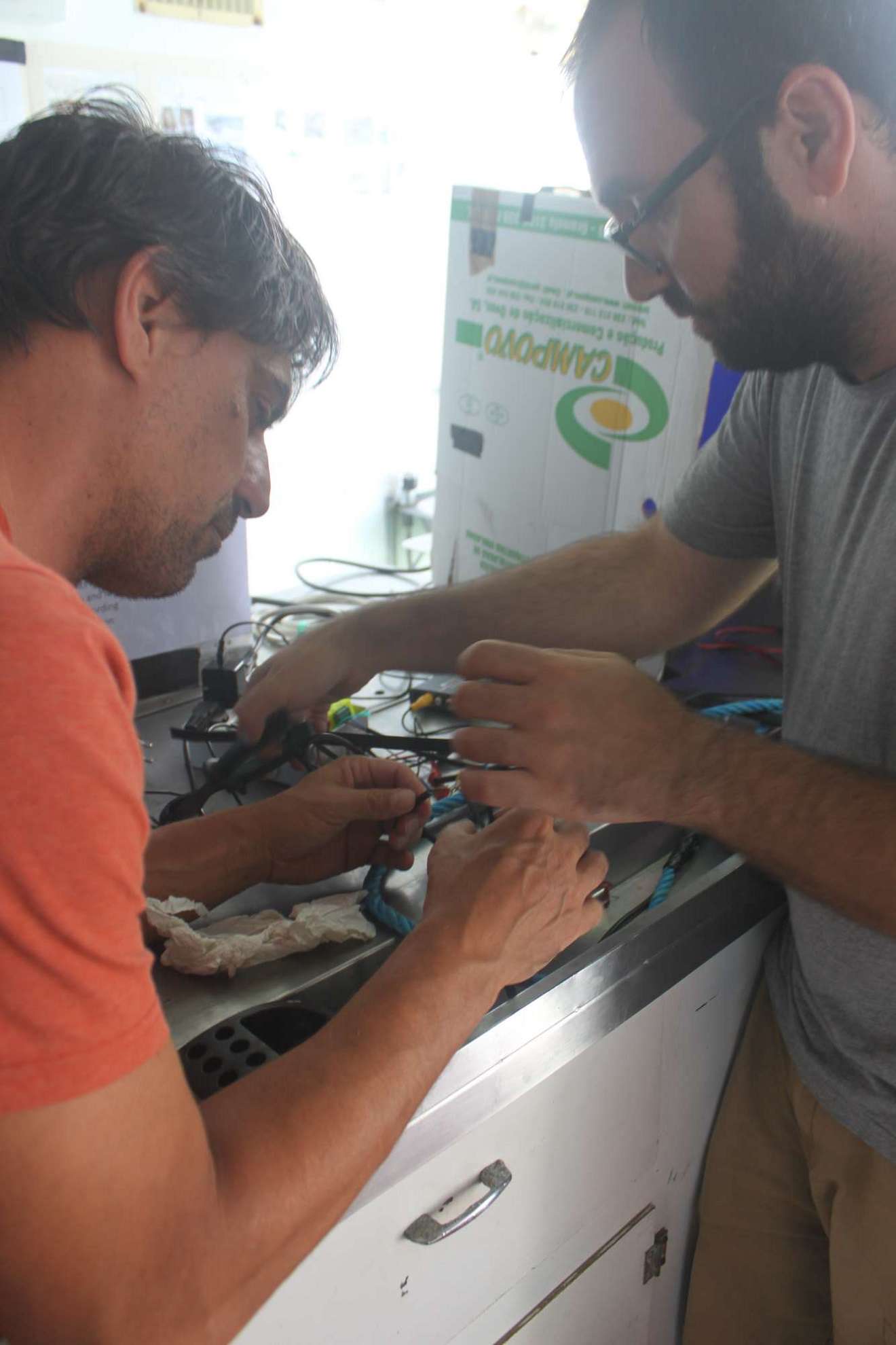
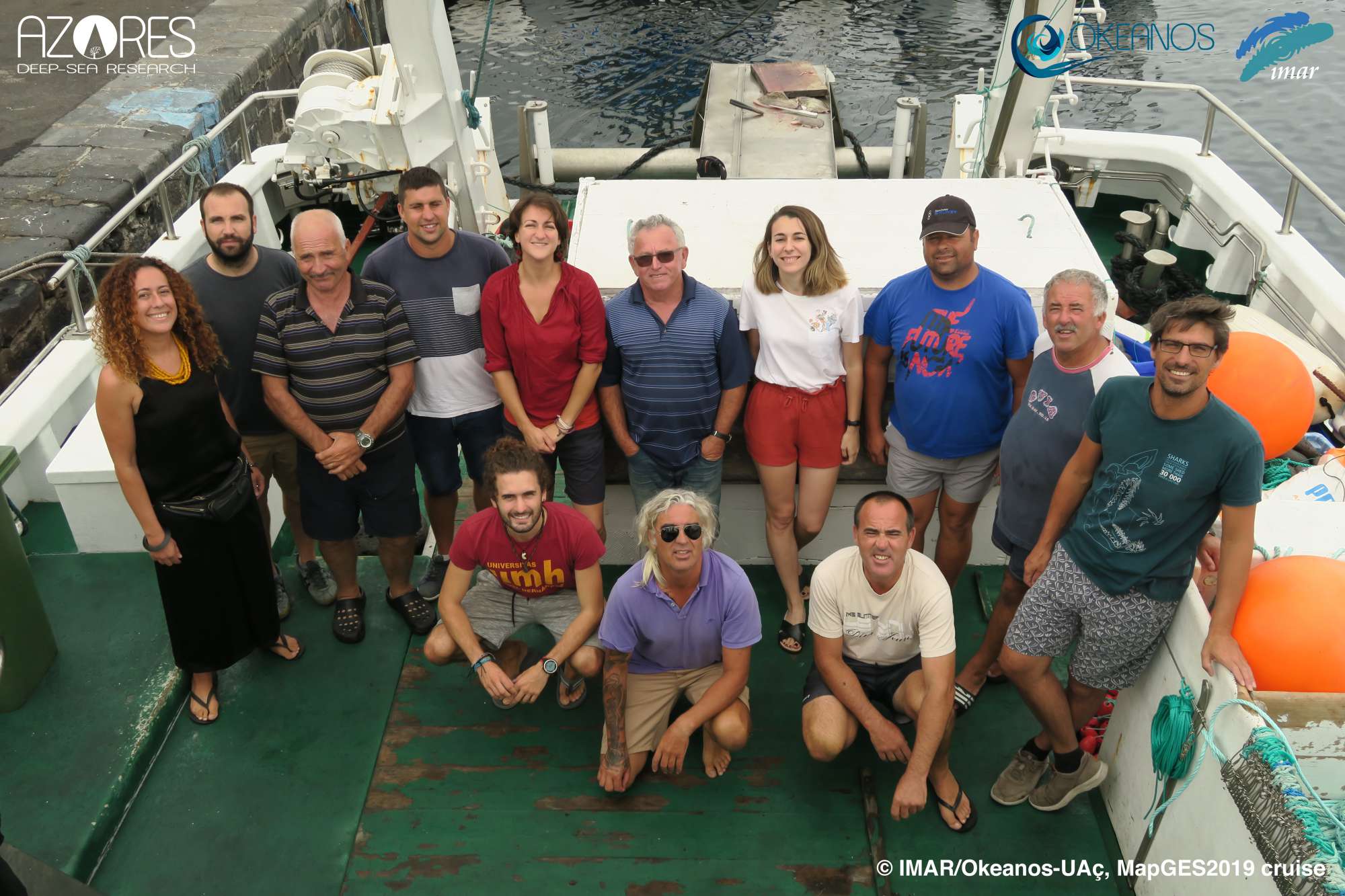
Scientific crew

Telmo Morato
Principal Investigator
Carlos Dominguez-Carrió
Senior Scientist
Manuela Ramos
Student

Sérgio Gomes
Research Assistant

Laurence Fauconnet
Early-career Researcher
Collaborators
Authors list
10.5281/ZENODO.3727570

Images

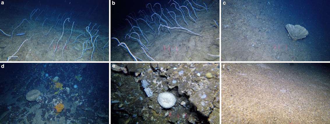
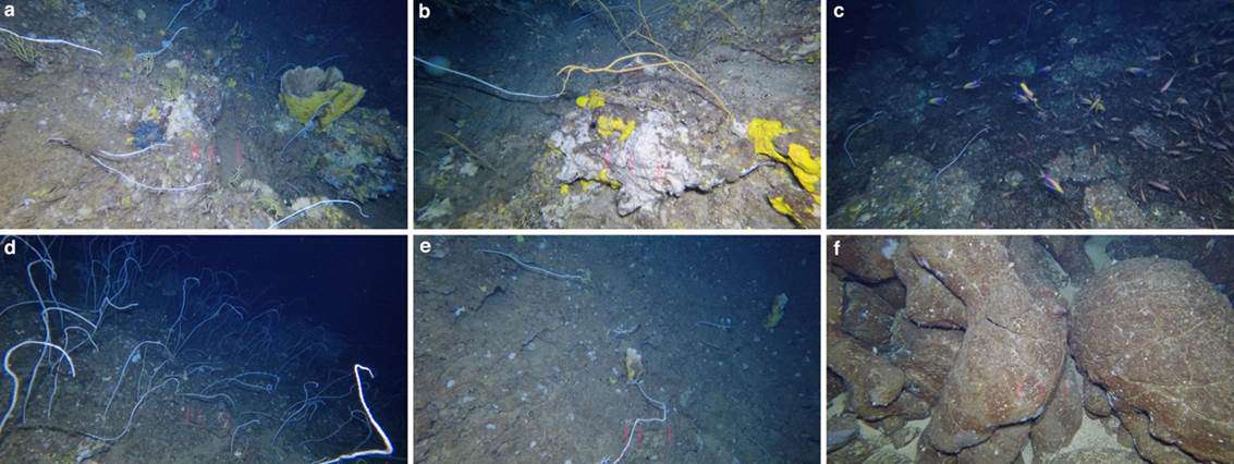
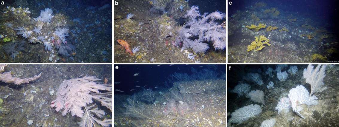
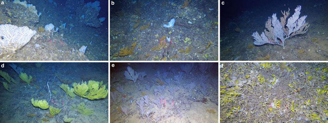
Dives images


Location
Departamento de Oceanografia e Pescas — Universidade dos Açores
Rua Prof. Doutor Frederico Machado, No. 4
9901-862 Horta, Portugal
Contact
Email: azoresdeepsea@gmail.com
AZORES DEEP-SEA RESEARCH © 2020-2025 — RELEASE 2.0.3
 VALTER MEDEIROS